Chapter 02 · Lakes
The Reservoirs
Six pools across the Great Plains, the stories buried beneath them — and the living tailwater river that threads the chain.
Six pools across the Great Plains, the stories buried beneath them — and the living tailwater river that threads the chain.
Below the surface of every Great Plains reservoir lies a river valley that people called home — and the dams that flooded those valleys were not acts of nature.
The six Missouri River reservoirs — Fort Peck Lake, Lake Sakakawea, Lake Oahe, Lake Sharpe, Lake Francis Case, and Lewis & Clark Lake — are the defining fact of the Missouri River in the twentieth century. The Pick-Sloan Plan, authorized by Congress in 1944, authorized their construction. The Army Corps of Engineers built the dams. And the communities, farms, and ceremonial sites that lay in the inundation zones were flooded. The Mandan, Hidatsa, and Arikara Nation (MHA Nation) lost more than 150,000 acres of bottomland to Garrison Dam and Lake Sakakawea — the most productive agricultural land the Three Affiliated Tribes possessed. The Standing Rock Sioux, Cheyenne River Sioux, Crow Creek Sioux, Lower Brule Sioux, and Yankton Sioux collectively lost hundreds of thousands of additional acres to Oahe, Big Bend, Fort Randall, and Gavins Point dams. Entire towns relocated. Cemeteries were moved or flooded. The historic confluence of the Knife River with the Missouri — site of Mitutanka and Ruptáre, the Mandan villages where Lewis and Clark spent their first winter — now lies beneath Lake Sakakawea.
The two paddleable reaches in this chapter are tailwaters: the 75-mile Garrison tailwater through central North Dakota to Bismarck, and the 84-mile Oahe tailwater from Pierre through Lake Sharpe to Big Bend Dam. Both are dam-controlled, which means consistent flows and cold water year-round. Both offer genuine paddling value — Cross Ranch State Park's free-roaming bison herd is visible from the Garrison reach; the Big Bend horseshoe on the Oahe/Sharpe stretch is one of the most dramatic river formations in the entire Missouri basin. But paddling them honestly means holding both realities at once: the recreation and the history that made it possible.
A 134-mile inland sea behind a New Deal dam, ringed by the Charles M. Russell National Wildlife Refuge — the emptiest big water in Montana.
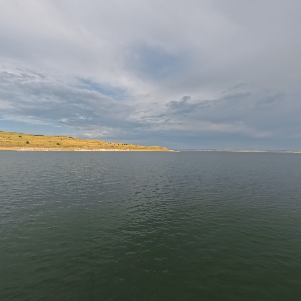
The biggest of the six — 178 miles of drowned river named for a Hidatsa-adopted woman whose homeland lies beneath it.
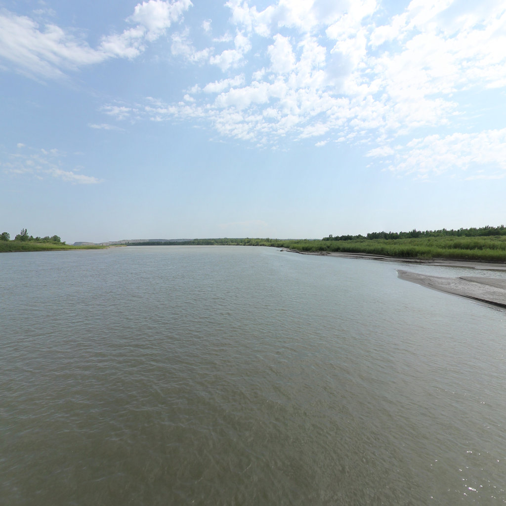
75 miles of free-flowing Missouri River below Garrison Dam through central North Dakota to Bismarck.
231 miles from Bismarck to Pierre — the longest of the six pools, over the drowned bottomlands of the Standing Rock and Cheyenne River nations.
Approximately 50 miles of Missouri River below Oahe Dam near Pierre, SD, through Lake Sharpe to Big Bend Dam.
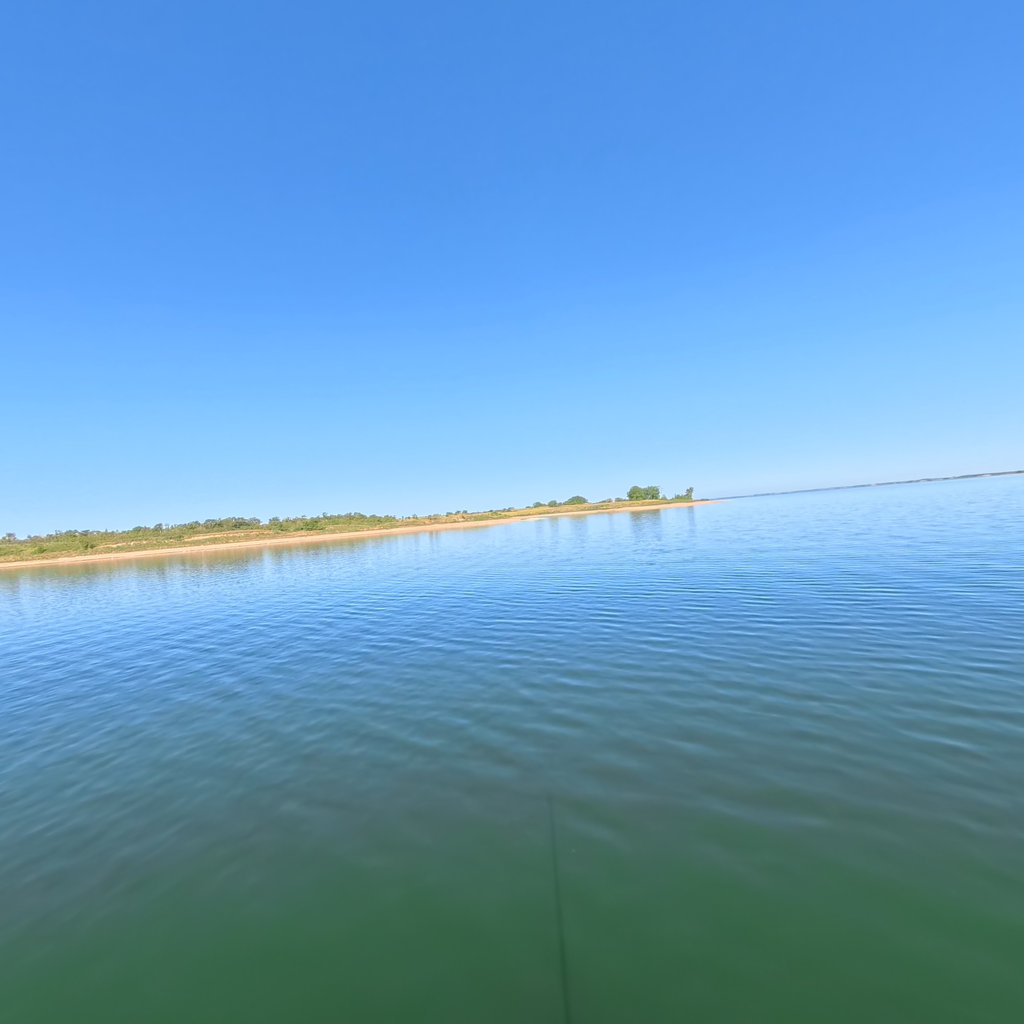
An 80-mile run-of-river pool through the Big Bend of the Missouri — the tightest meander on the river, flanked by the Lower Brule and Crow Creek nations.
107 miles behind Fort Randall Dam — chalk bluffs, cedar draws, and the drowned site of White Swan on the Yankton Sioux reservation.
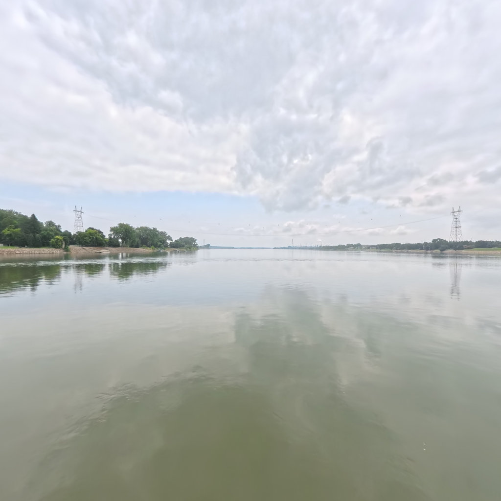
The smallest and busiest of the six — 25 miles of bright water above Gavins Point Dam, filling fast with the sediment the river can no longer carry away.
The Garrison and Oahe tailwaters are dam-controlled and relatively consistent, but they feed into and draw from reservoirs that behave like lakes, not rivers. Wind is the governing safety concern. Lake Sakakawea covers 307,000 acres; Lake Oahe covers 374,000 acres. On either reservoir, afternoon winds can build 2- to 3-foot waves within an hour, pinning paddlers on shore for 12 to 36 hours. The standard practice on both lakes is to launch at or before first light, cover distance in the calm morning window, and make camp well before noon if the forecast shows any wind. Being wind-bound is not a sign of bad planning — it is expected. Factor at least one weather day per five days of travel on any reservoir crossing.
The water is cold year-round from dam releases. Immersion on the Garrison tailwater (water released from the bottom of Garrison Dam) can incapacitate in minutes even in August. Wear or have immediate access to your PFD at all times. On the Oahe/Sharpe section, the reservoir's minimal current means sustained paddling effort is required — 14 to 21 miles per day is realistic at a leisurely pace, slower in headwinds. Both reaches are exceptional for walleye and northern pike fishing, and both pass through country of deep historical weight: the Knife River Indian Villages, Double Ditch Indian Village, and the Lower Brule Sioux Reservation speak to the peoples who lived on this river long before the dams.
The Garrison tailwater puts in at the Garrison Dam Tailrace (47.5025°N, 101.4326°W), accessible off ND-200 west of Washburn. Take-out at Fort Abraham Lincoln State Park or Bismarck's Sanger Boat Ramp. The Oahe tailwater starts at Farm Island Recreation Area below Oahe Dam near Pierre, SD (44.37°N, 100.35°W), and ends at Big Bend Dam near Fort Thompson. Both reaches have multiple mid-reach access points for shorter day or overnight floats. Check daily dam discharge schedules (USACE Missouri River Water Management, nwd-mr.usace.army.mil) before launching — release fluctuations can raise or drop the river a foot or more within hours.
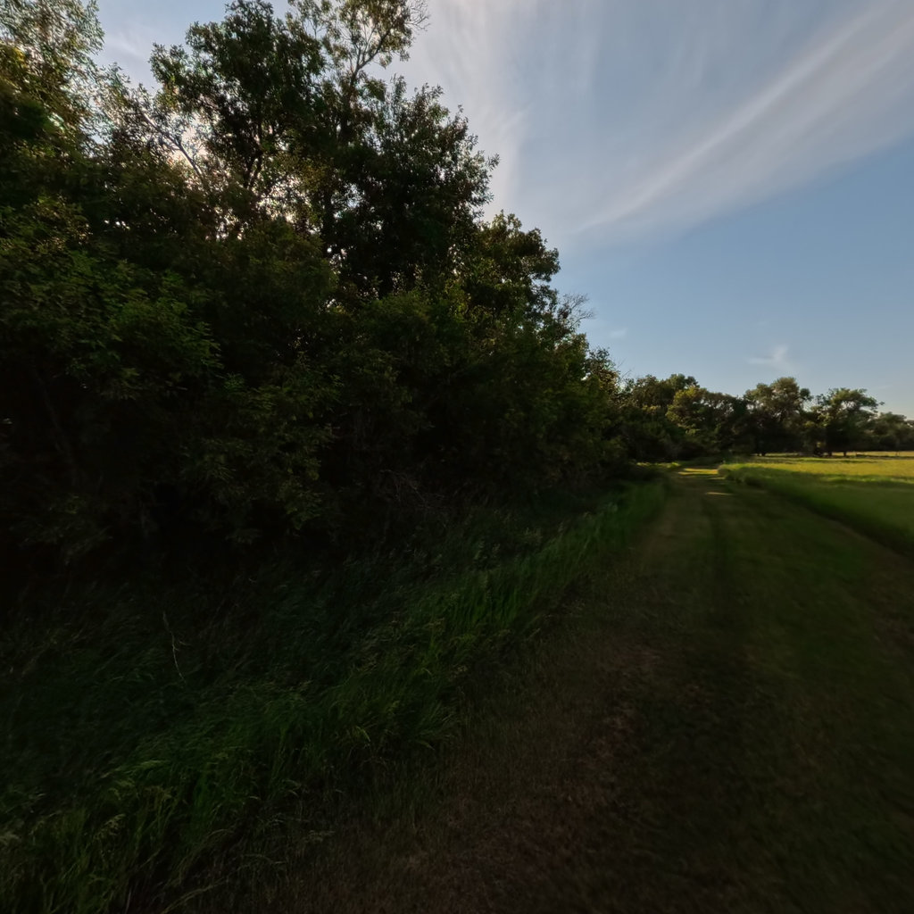
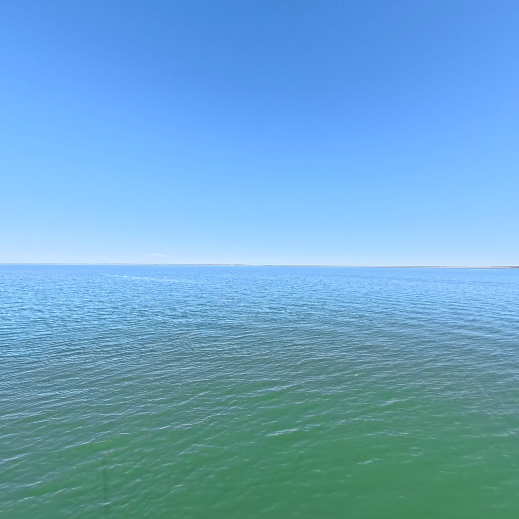
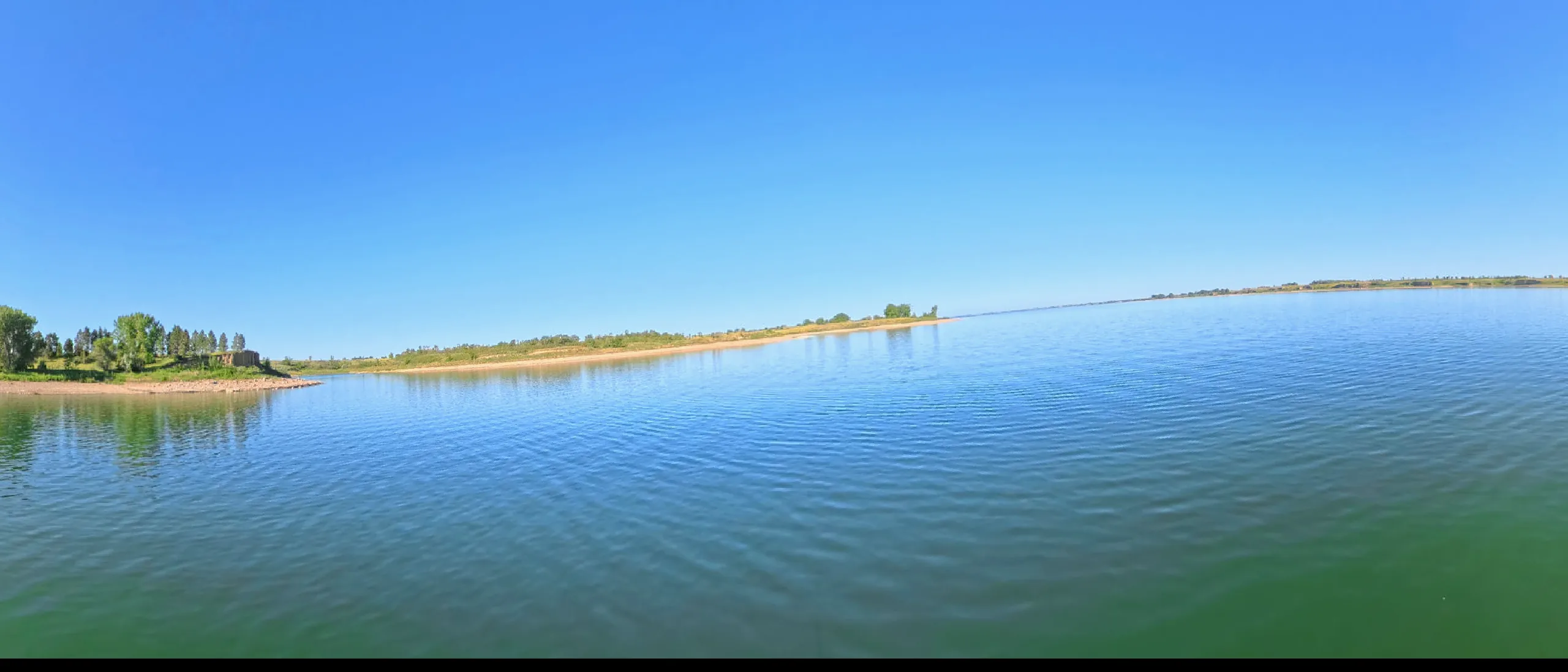
Terrain360 has captured roughly two-thirds of the mainstem in full 360° imagery. Tap any card to float that stretch in the viewer.