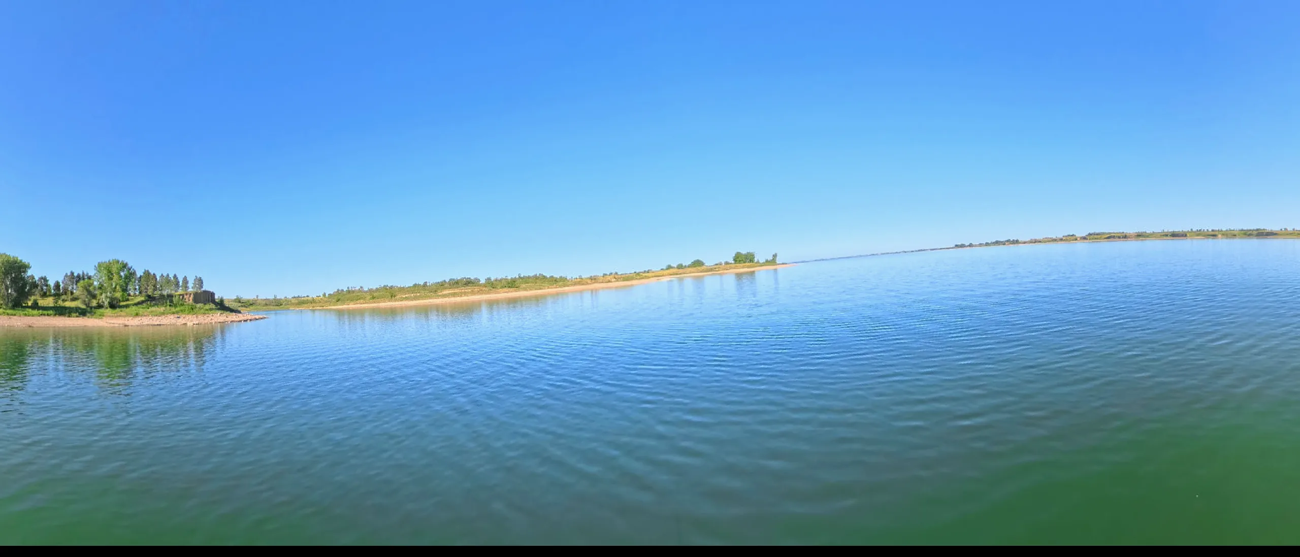
107 miles behind Fort Randall Dam — chalk bluffs, cedar draws, and the drowned site of White Swan on the Yankton Sioux reservation.
This lake IS mapped — marine-chart apps carry contours today. We're sourcing an open layer for all six pools (USACE Omaha surveys · state wildlife agencies · USGS ScienceBase). Depths will render against today's pool, not the full-pool number printed on fishing maps.
Fort Randall Dam, finished in 1952, was the first of the Pick-Sloan dams to take reservation land: the Yankton Sioux community of White Swan — homes, churches, burial grounds, and the timbered bottoms that supported them — went under the pool with compensation that arrived late and small. Drought years still occasionally expose the old townsite.
The dam stands beside the ruins of its namesake, Fort Randall, the 1856 army post whose chapel walls still rise above the tailwater. Sitting Bull was held here as a prisoner in 1881-82. The reach below the dam opens the Missouri National Recreational River — the 39-mile district where the last free-flowing character of the lower Missouri survives.