Chapter 01 · Upper
Upper Missouri
Montana's free-flowing river — Three Forks to Fort Peck Lake.
Montana's free-flowing river — Three Forks to Fort Peck Lake.
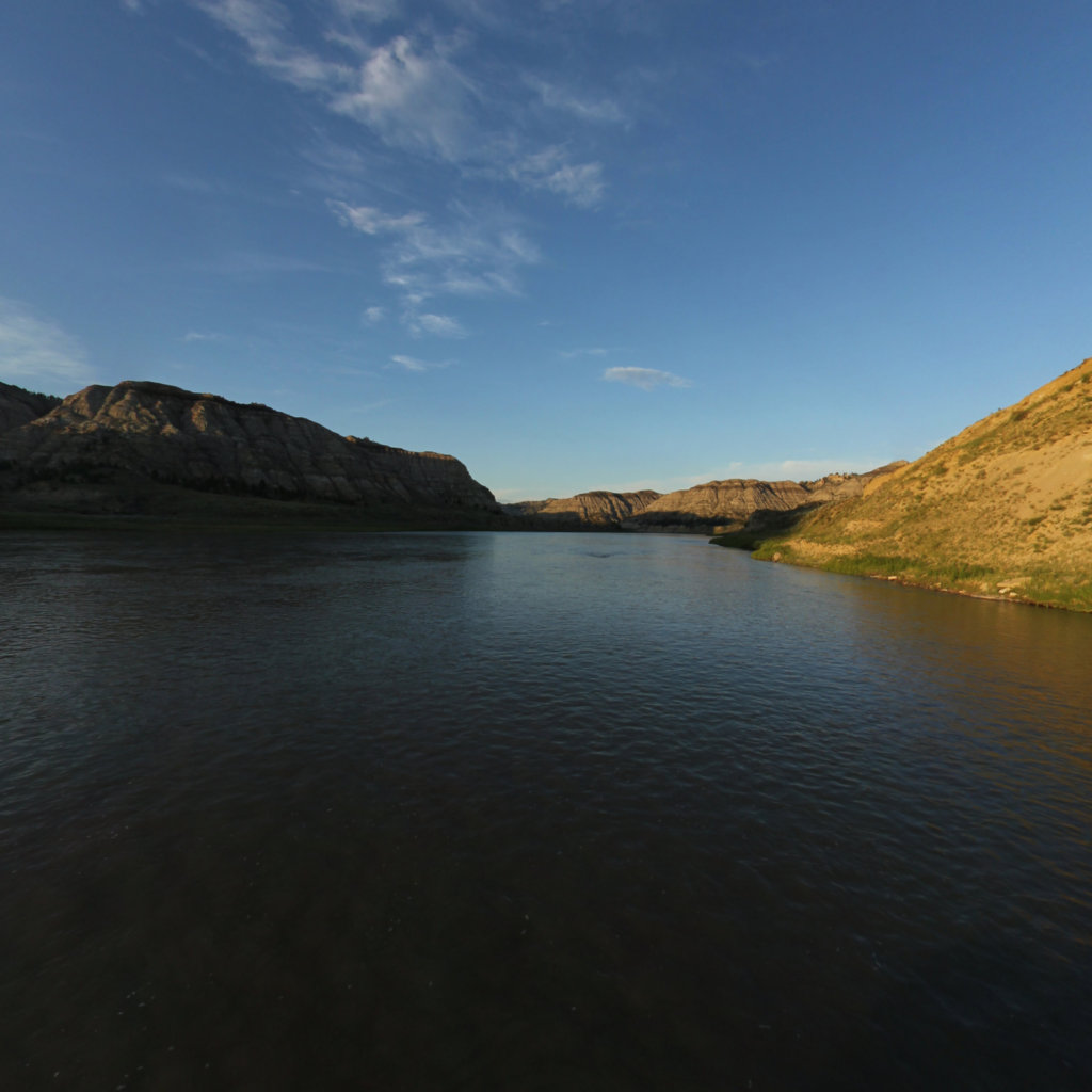
Towering white sandstone walls rise from a river that has run unchanged since Lewis and Clark dipped their paddles here in 1805.
The Upper Missouri is the river most people picture when they imagine paddling the whole length of the Missouri — and the reach almost no one actually does. Three hundred and twenty-nine miles of free-flowing water from Fort Benton to the tailwater below Fort Peck Dam, split between the 149-mile Wild & Scenic corridor and the remote, lightly visited 180-mile tailwater below Fort Peck Dam. No dams interrupt it. No channelization has straightened its bends. The current still runs between 2 and 4.5 miles per hour depending on the season, propelled by the same gradient that wore down the White Cliffs and carved the Missouri Breaks over millions of years.
The Wild & Scenic section alone — Fort Benton to James Kipp Recreation Area — is the crown jewel of the entire 2,341-mile river. The Hole-in-the-Wall alcove, Eagle Creek, Citadel Rock, LaBarge Rock, and the journal landmarks Lewis and Clark recorded in astonishing detail are all still there, recognizable from the expedition's own sketches. Below Fort Peck Dam, the river enters the Charles M. Russell National Wildlife Refuge and runs 180 miles of cottonwood bottomland, fossil-rich badlands, and nearly complete solitude to the Yellowstone confluence near the North Dakota line. Both reaches demand expedition-level self-sufficiency: resupply is sparse, cell service intermittent, and afternoon upriver winds can stop progress entirely.
The crown jewel of Missouri River paddling.
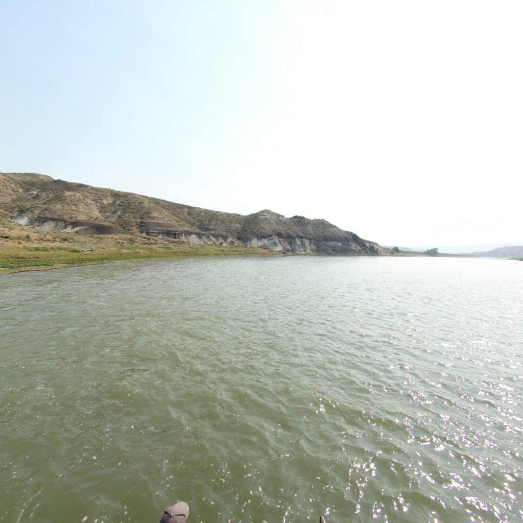
Remote and wild 180-mile stretch below Fort Peck Dam to the confluence with the Yellowstone River near the North Dakota border.
Free float permits are required for all overnight trips on the Wild & Scenic section between Fort Benton and James Kipp Recreation Area. Register at the BLM Field Office in Fort Benton (406-622-4000) or online through Recreation.gov before your launch date. Group size is capped at 16 people — this is a hard limit, not a guideline. The permit is free; the planning time is not. BLM staff strongly recommend calling ahead to review current conditions, ferry-cable locations (at river mile 39.1 and 101.8 — duck when you pass), and fire restrictions.
The optimal float window is July through mid-August, when flows at Fort Benton typically run 4,000–8,500 CFS and afternoon winds are manageable. High water in May and early June accelerates the pace but raises debris risk and can submerge campsites. Plan 7–10 days at a leisurely pace for the 149 Wild & Scenic miles — 15 to 21 miles per day gives you time for cliff hikes, wildlife watching, and the sandbar camps that make this trip worth taking slowly. The Fort Peck tailwater (180 miles, Fort Peck Dam to the Yellowstone) requires no permit but demands full expedition self-sufficiency: Wolf Point and Culbertson are the only resupply points.
Both reaches launch from BLM boat ramps with good vehicle access. Fort Benton (Wild & Scenic start) is 40 miles east of Great Falls, MT on US-87. James Kipp Recreation Area (Wild & Scenic end, Fort Peck tailwater start is separately accessed at Fort Peck Dam, 18 miles south of Glasgow, MT on US-2) can be reached on MT-236. Commercial outfitters in Fort Benton offer shuttle service. No commercial resupply exists on the tailwater between Fort Peck Dam and Culbertson (about 70 miles); Culbertson to the Yellowstone confluence is another 110 miles of true wilderness.
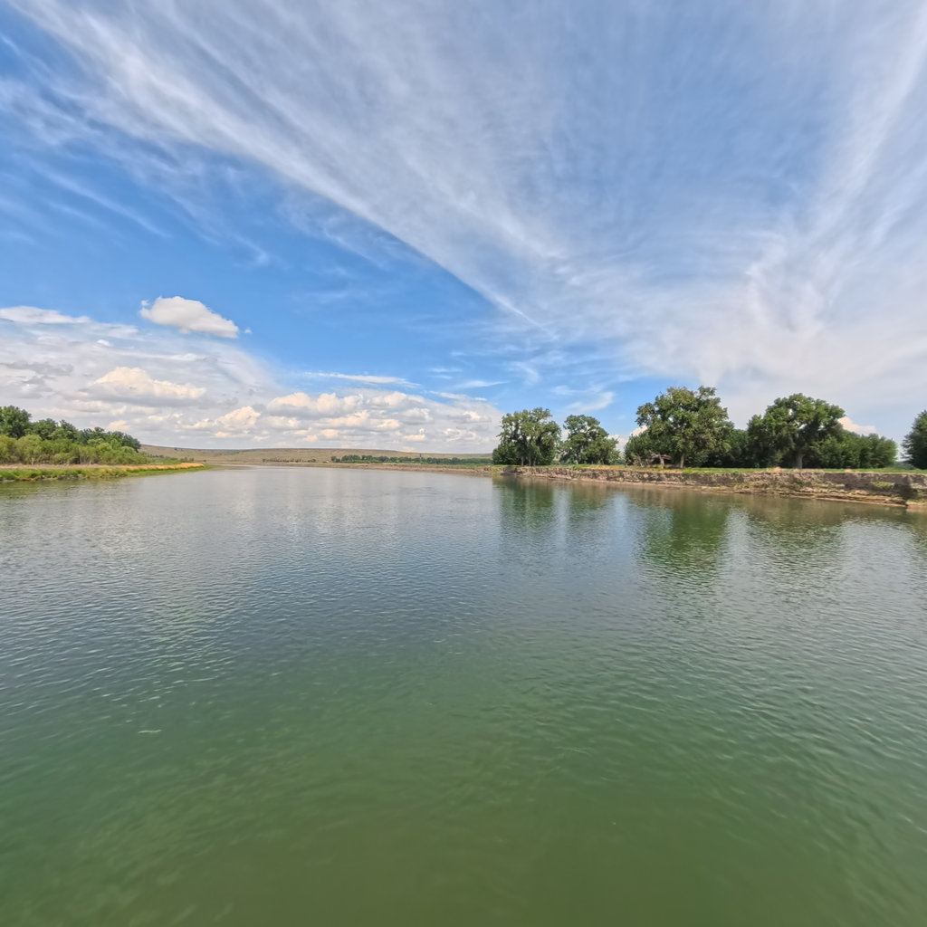
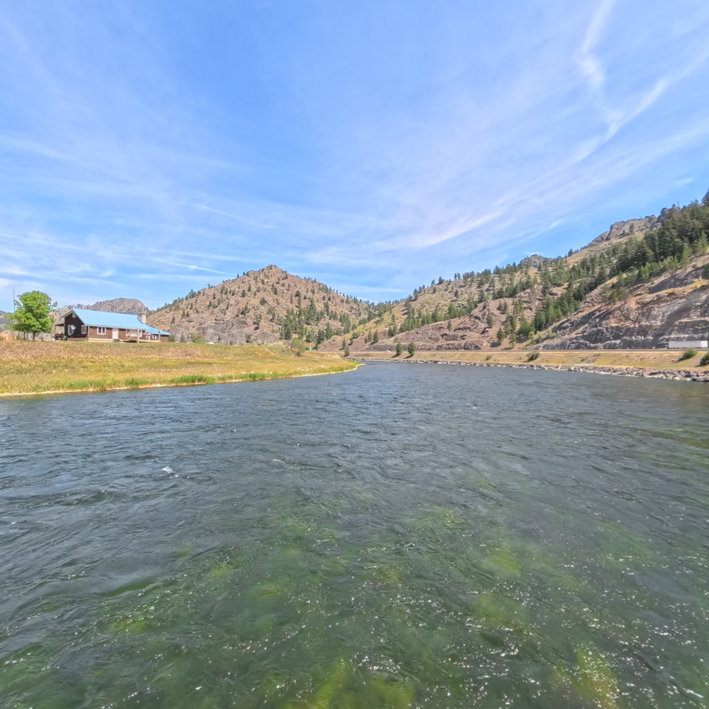
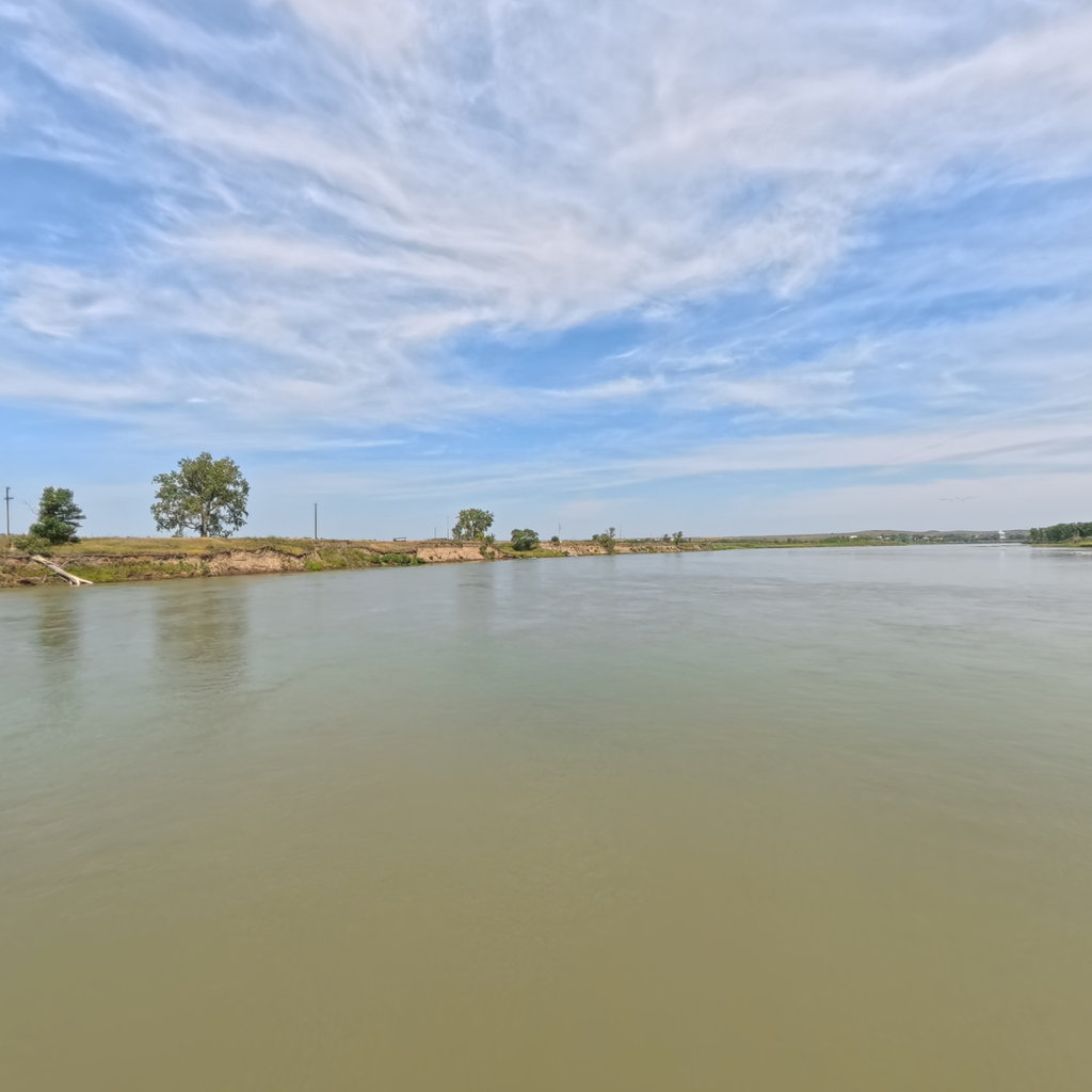
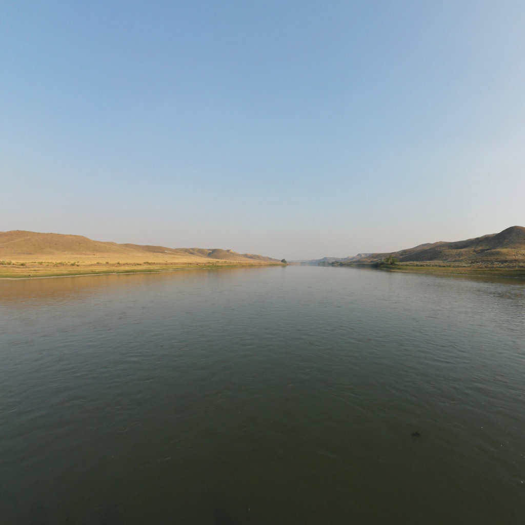
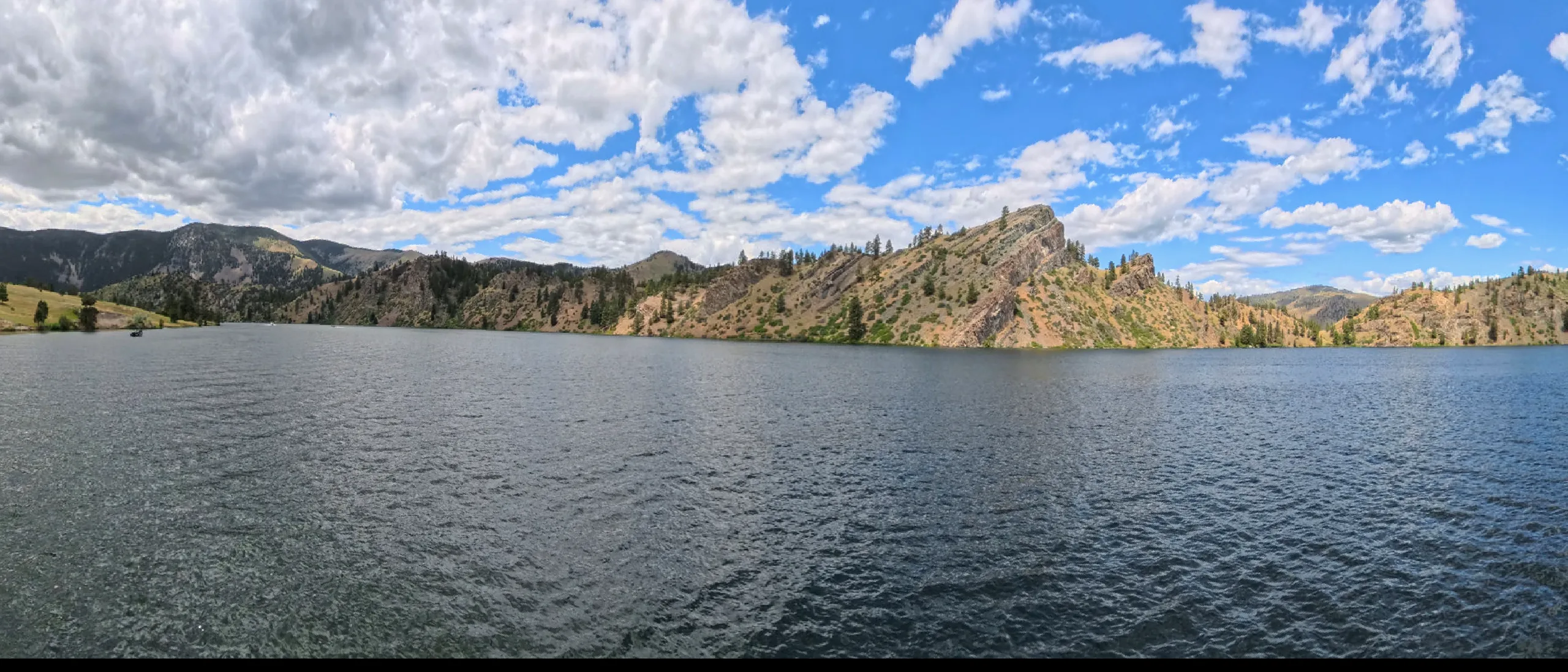
Terrain360 has captured roughly two-thirds of the mainstem in full 360° imagery. Tap any card to float that stretch in the viewer.