Chapter 03 · NRR
National Recreational River
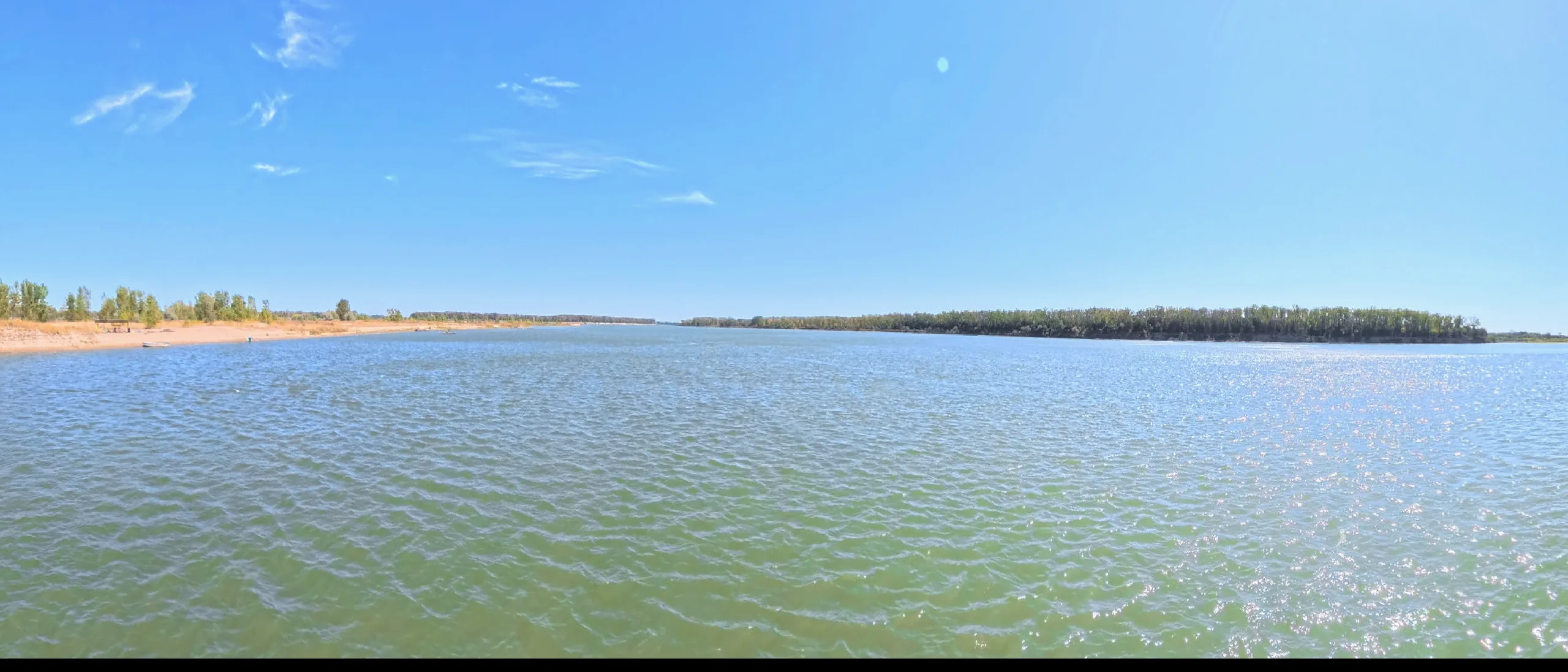
The last braided river — 98 free-flowing miles managed by the National Park Service.
The last braided river — 98 free-flowing miles managed by the National Park Service.
Sandbars shift with every flood here, piping plovers nest where last week there was open water, and the Missouri still decides its own shape.
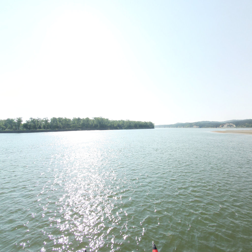
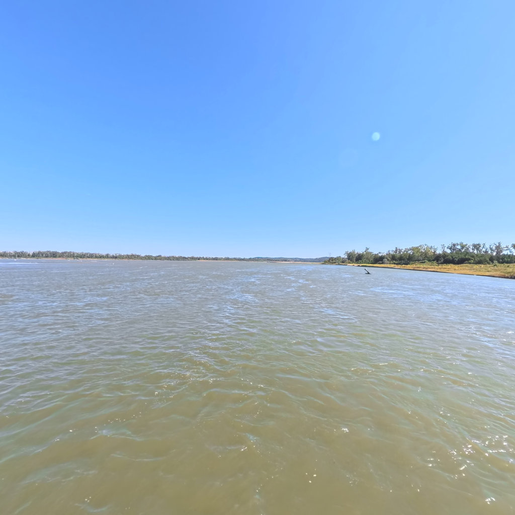
Below Gavins Point Dam, the Missouri runs 98 miles without a dam, a levee, or a concrete bank armor to constrain it. These two NPS-managed districts — the 39-Mile District from Fort Randall Dam to Running Water, SD, and the 59-Mile District from Gavins Point Dam to Ponca State Park — are what most of the lower Missouri used to look like before the Army Corps channelized it in the 1930s through 1970s. The channelization project straightened the channel, eliminated islands and secondary channels, armored the banks with rock riprap, and installed thousands of wing dams and rock dikes to concentrate flow for barge navigation. It worked for navigation. It eliminated roughly 67 percent of the river's surface area and nearly all of its braided-channel character downstream.
Here in the NRR, the river still braids. Sandbars build and wash away between seasons. Cottonwood gallery forests regenerate in the natural cycle of flood and deposition that cottonwood seed requires. Piping plovers and interior least terns — both federally threatened — nest on the open sandbars in numbers found almost nowhere else in the Missouri basin. The birding is exceptional: over 200 species documented in the 59-Mile District alone, including some of the densest concentrations of migrating shorebirds in the central flyway. The 39-Mile District around Karl Mundt National Wildlife Refuge hosts one of the largest bald eagle concentrations in the lower 48. This is what restoration advocates mean when they talk about the Missouri's potential — and it is fragile, contested, and extraordinary.
39 miles of free-flowing Missouri River from Fort Randall Dam to Running Water, SD. One of the last unchannelized stretches of the lower Missouri.
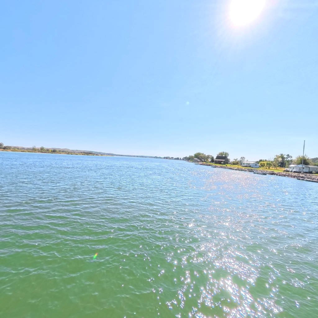
59 miles of free-flowing Missouri River from Gavins Point Dam to Ponca, NE. The most popular paddling section of the Missouri National Recreational River.
The Missouri National Recreational River is the easiest whitewater on the main stem — both districts run Class I at normal flows, with average currents of 3.5 mph. But the braided channel creates a navigation puzzle that can end a trip prematurely if you make the wrong read. The river divides constantly into secondary channels and chutes separated by sandbars and islands. Many of these side channels shallow out and strand paddlers in ankle-deep water hundreds of yards from the main channel — a significant inconvenience with a loaded kayak.
The rule is to follow the current: the strongest flow tracks the main channel. At a split, look for the deeper, faster-moving water and favor that side. The outside of every bend is deeper. Avoid channels that narrow noticeably after the split — they are usually braiding toward a dead end on a sandbar. Dam releases from Fort Randall and Gavins Point (check USACE schedules; typical summer release is 24,000–30,000 CFS) keep flows relatively predictable, but sandbars shift between seasons and even between floods within a season. No map shows current sandbar positions. Read the water, not the chart. Camping on sandbars is one of the great pleasures of the NRR — pick a bar large enough that rising water won't reach your tent, and stake everything: wind comes without warning across the open river.
The 39-Mile District puts in at the Fort Randall Dam Spillway (43.07°N, 98.55°W), off US-281 south of Pickstown, SD. Take-out at Running Water, SD. The 59-Mile District puts in at Gavins Point Dam (42.85°N, 97.49°W), two miles west of Yankton, SD on SD-52. The NPS visitor center in Yankton (508 E. 2nd Street) is the best first stop for current conditions, sandbar and nesting zone information, and camping guidance. Ponca State Park take-out is on NE-12 east of Ponca, NE. Multiple mid-reach access points exist in both districts; the Yankton Riverside Park ramp (42.87°N, 97.39°W) is the most popular day-trip put-in for the 59-Mile reach.
Terrain360 has captured roughly two-thirds of the mainstem in full 360° imagery. Tap any card to float that stretch in the viewer.