Chapter 04 · Lower
Lower Missouri
The channelized river — 340 miles of Katy Trail towns, barge lanes, and the final run to the Mississippi.
The channelized river — 340 miles of Katy Trail towns, barge lanes, and the final run to the Mississippi.
The river is fast and purposeful here — barge wakes roll past wine-country bluffs, and every bend carries you closer to the Gateway Arch.
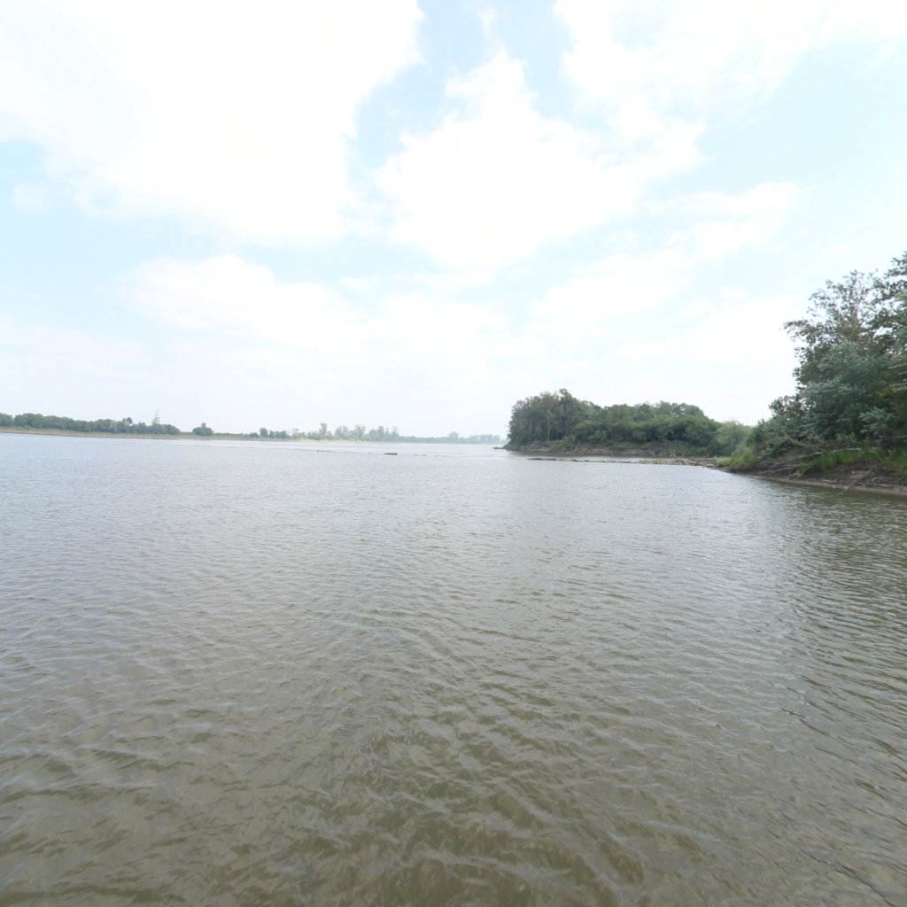
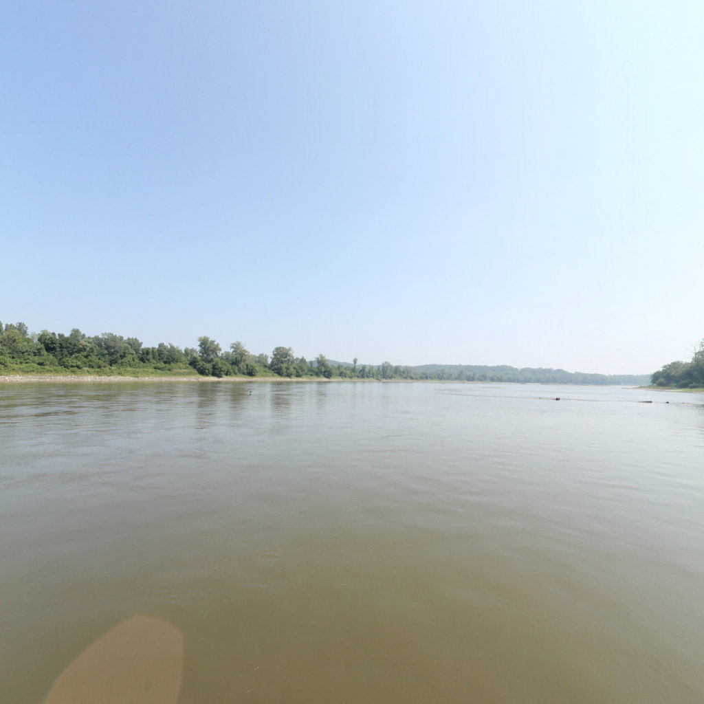
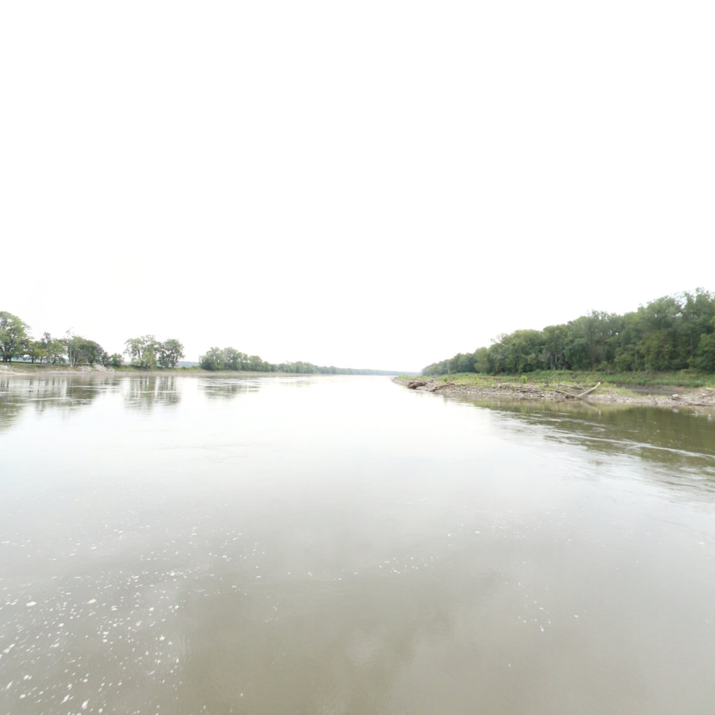
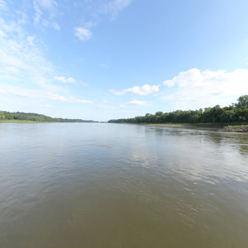
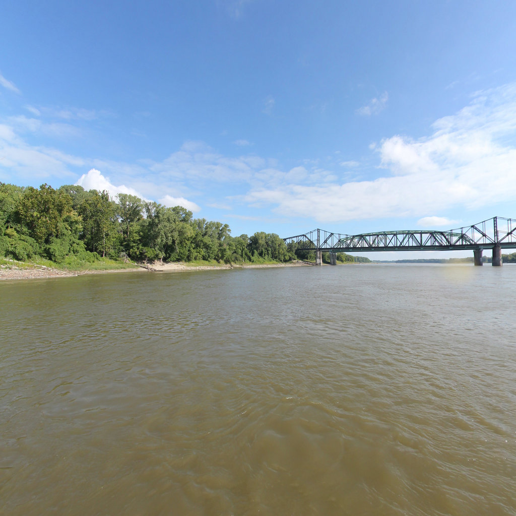
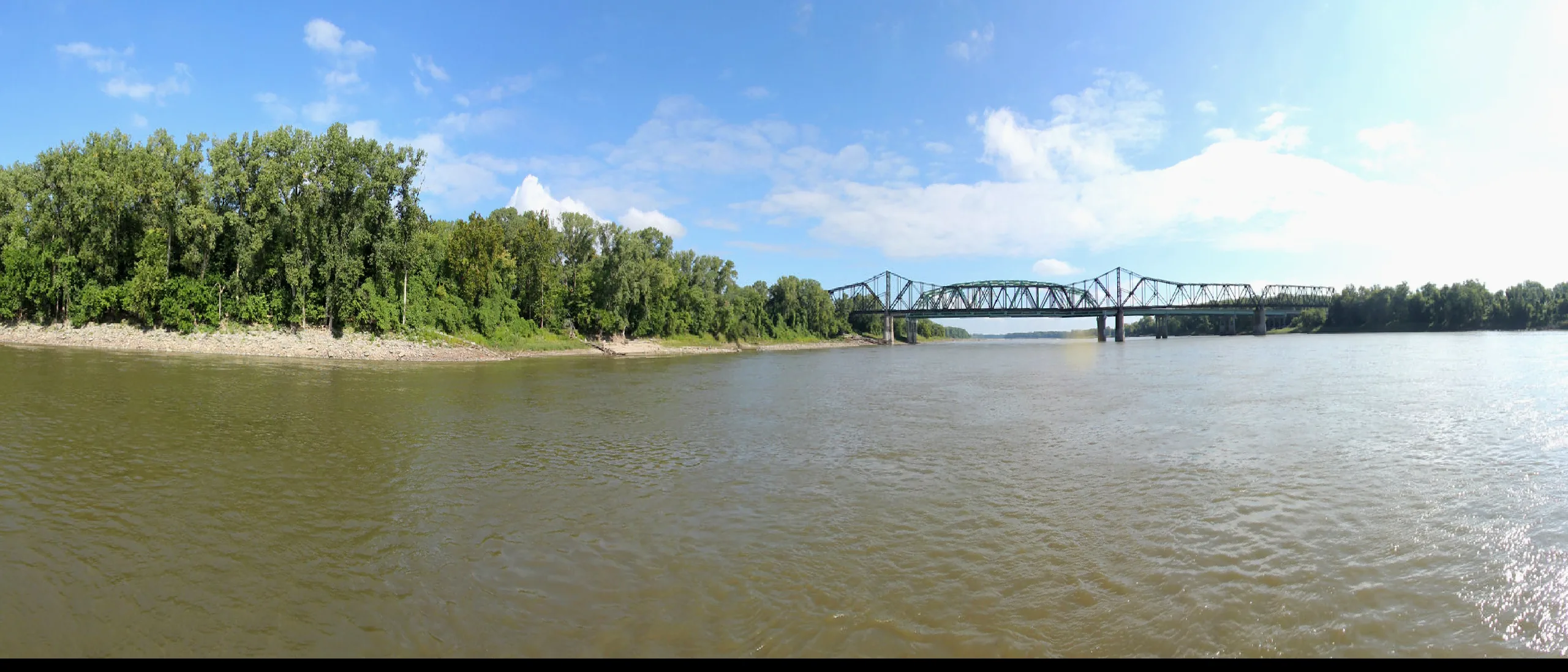
The lower Missouri from Ponca/Gavins Point south to the Mississippi confluence is the engineered river — straightened, armored, and deepened for commercial navigation by the Army Corps channelization program that began in the 1930s. The channel is 300 feet wide and 9 feet deep by design. Rock wing dams and dikes angle out from both banks every few hundred yards, concentrating flow to scour the navigation channel. Commercial barge tows push upstream loaded with grain and downstream with fuel, fertilizer, and industrial goods. This is not the Wild & Scenic corridor. It is something else: a powerful, fast-moving, historically dense river that rewards paddlers who understand its rules.
The 252-mile corridor from Kansas City to the Mississippi confluence parallels the Katy Trail — Missouri's 240-mile rail-trail, the longest developed rail-trail in the United States. The trail connects every significant river town between Sedalia and St. Charles and provides the logistical backbone for extended Missouri River paddles: you can get on and off the river at Rocheport, Boonville, Hermann, Washington, Defiance, and St. Charles, walk the Katy to a trailhead, and arrange shuttles with relative ease. The river towns themselves — historic Arrow Rock, the German wine heritage of Hermann, the Lewis & Clark Boathouse in St. Charles — give the lower stretch an editorial richness that the remote upper reaches do not have.
Approximately 155 miles of channelized Missouri River from Kansas City to Hermann, MO, paralleling the famous Katy Trail.
97 miles from Hermann through St.
The Missouri River 340 — the MR340 — is the world's longest non-stop river race, run annually in late July or early August from Kaw Point in Kansas City to the finish line in St. Charles, approximately 340 miles depending on the year's course. Entry is open to any watercraft. Solo paddlers, tandem canoes, and outriggers all compete. Top finishers complete it in under 40 hours. Most racers take 70 to 100 hours. The race has defined the logistics infrastructure of the lower Missouri more than any other factor: put-in and take-out ramps, overnight camping spots, and resupply strategies for the entire KC-to-mouth stretch have been mapped and improved by MR340 participants over two decades.
For non-race paddling, barge traffic is the governing safety rule. Commercial tows push full-width in the navigation channel and cannot stop or steer around you. The rule is simple: when you see or hear a tow, move to the bank. The bank may be riprapped rock — not comfortable, but survivable. Stay out of the navigation channel when a tow is present. Wing dams extend from both banks and are partially submerged at normal flows; they create powerful boils on their downstream faces. Flows in the KC-to-mouth reach typically run 40,000–110,000 CFS depending on season — that current is your friend for making miles but demands constant attention to piloting in a narrowed, engineered channel. Plan resupply at river towns along the Katy Trail; camping on the lower river is limited because much of the shoreline is privately owned, leveed, or riprapped.
The lower reach begins at Kaw Point Park in Kansas City (39.12°N, 94.61°W), off Kaw Point Park Road in the Argentine neighborhood — free parking, concrete ramp. The finish at Confluence Point State Park (38.81°N, 90.12°W) is accessible off MO-94 near West Alton, MO. Key intermediate accesses include Lexington (mile 315), Boonville (mile 197), Rocheport (mile 185), Jefferson City (mile 144), Hermann (mile 97), Washington (mile 67), and St. Charles (mile 25). All are reachable from the Katy Trail. Summer flows (40,000–80,000 CFS) give a current-assisted pace of 5.5–7 mph effective speed. Avoid March through May during flood season — the Missouri can exceed 150,000 CFS at Hermann in high-water years.
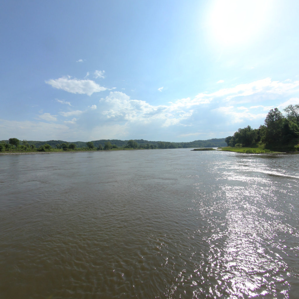
Terrain360 has captured roughly two-thirds of the mainstem in full 360° imagery. Tap any card to float that stretch in the viewer.