Oahe Dam Tailwater to Big Bend
The Reservoirs · Reach 2 of 2 · RM 1,067–989

Oahe Dam Tailwater to Big Bend

Approximately 50 miles of Missouri River below Oahe Dam near Pierre, SD, through Lake Sharpe to Big Bend Dam. 0.5–3 mph typical current.

The river today
 
7-day trend · prime window runs 18,000–30,000 CFS
Quick float Estimate Full planner with wind, camps & day-by-day →
Mile by mile

Oahe Dam / Pierre → Big Bend Dam / Fort Thompson.

Open this reach on the map →
MileUSACE RMSiteTypeNotes
1.91,065Pierre, South DakotaTOWN
5.21,062Pierre / Farm Island Recreation AreaACCESSSD
27.81,039Lake SharpeLAKE
73.7994Larger Cedar IslandBRACKENRIDGE
987.080Big Bend Dam / Fort ThompsonRAMP
1,040.027DeGreyRAMP
1,065.02Pierre City RampRAMP
1,072.0-5Oahe Dam / Farm IslandRAMP
Know before you go

Permits & the float window.

Best season is June - September, peaking July - August. Plan 4-6 days for the full 84 miles at 14-21 miles a day.

  • Wind exposure on wide reservoir - can create large waves
  • Being wind-bound for multiple days is possible
  • Minimal current in reservoir sections requires sustained paddling
  • Cold water from dam releases
  • Limited access points along Lake Sharpe
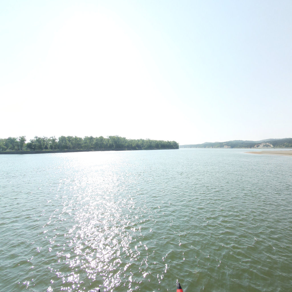
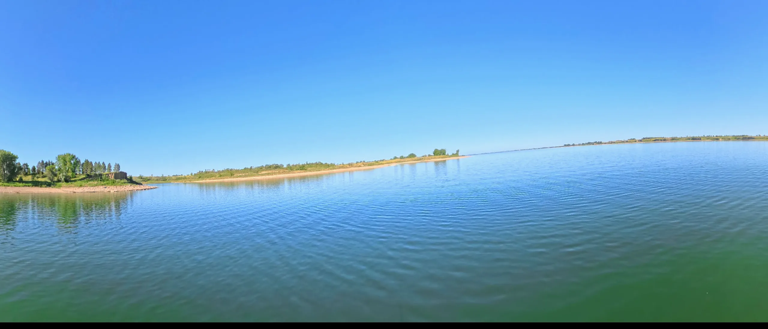
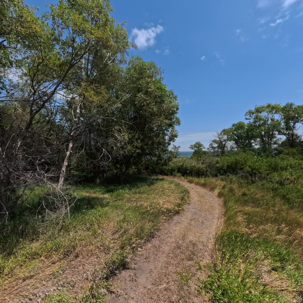
360° scene 360° · RM 1,010 360° scene 360° · RM 868
Scenes from this stretch and its neighbors. Coverage map →
In 360°

Float this reach in 360°.

Terrain360 has captured roughly two-thirds of the mainstem in full 360° imagery. Tap any card to float that stretch in the viewer.