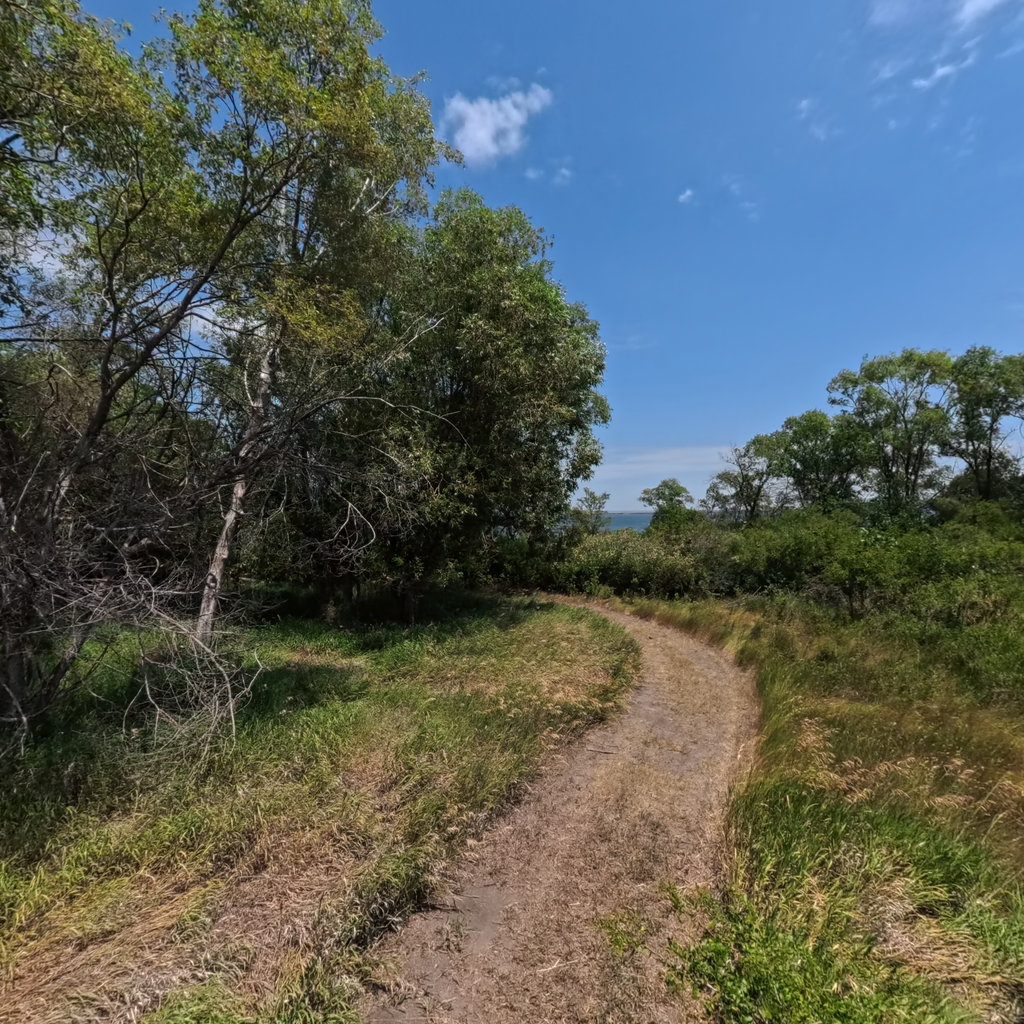
Lake Sharpe
The Reservoirs · Lake 4 of 6 · RM 989–1,071

Lake Sharpe

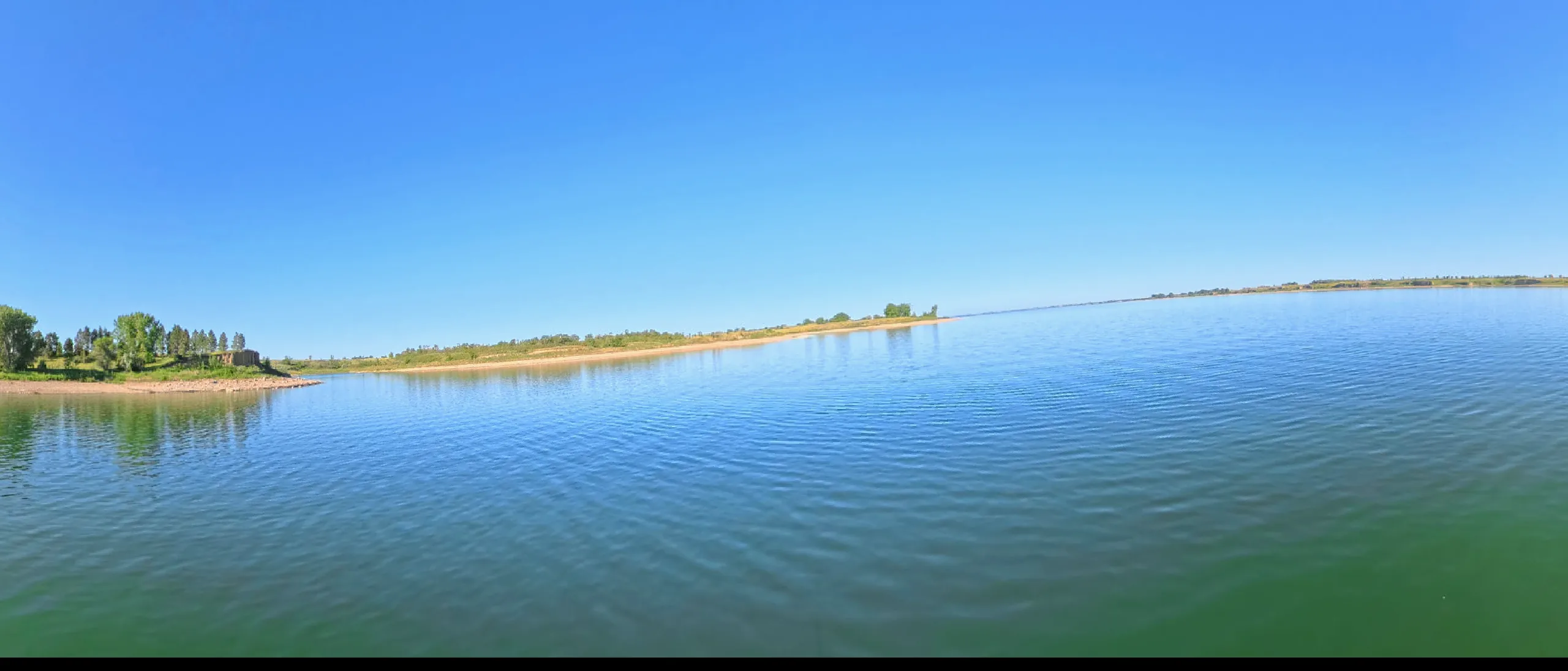
An 80-mile run-of-river pool through the Big Bend of the Missouri — the tightest meander on the river, flanked by the Lower Brule and Crow Creek nations.

The lake today
Pool ft msl
Ft below full
82
Pool miles
RM 989
to 1,071
Next 48 hours

Wind windows.

Calm <15 mph · Caution 15–25 · Hazardous 25+ sustained — tap any hour for detail
Wind alerts for this lake Plan a crossing
Access — ramps & recreation areas All on the map →
SiteRiver mileStateType
Oahe Downstream Recreation Area1,070.9SDboat ramp
Tailrace West1,070.9SDboat ramp
Tailrace East1,070.9SDboat ramp
LaFramboise Public Water Access1,065.3SDboat ramp
Fort Pierre Public Water Access1,065.0SDboat ramp
Down's Marina1,063.3SDboat ramp
Farm Island Recreation Area - West1,060.7SDboat ramp
Farm Island Recreation Area - East1,059.7SDboat ramp
Antelope Creek Land Use Area1,055.0SDboat ramp
Iron Nation - South1,020.8SDboat ramp
West Bend Recreation Area1,009.3SDboat ramp
North Bend Land Use Area1,007.9SDboat ramp
Little Bend Recreation Area1,002.5SDboat ramp
North Shore991.6SDboat ramp
Old Fort Thompson987.8SDboat ramp
Fort Thompson Spillway987.7SDboat ramp
Good Soldier987.4SDboat ramp
Fort Thompson Left Tailrace987.4SDboat ramp
Fort Thompson Right Tailrace987.4SDboat ramp
Depths

Depths, at today's pool.

This lake IS mapped — marine-chart apps carry contours today. We're sourcing an open layer for all six pools (USACE Omaha surveys · state wildlife agencies · USGS ScienceBase). Depths will render against today's pool, not the full-pool number printed on fishing maps.

051020406080+ ft
Lake Sharpe in 360° 360° This lake in 360° — 65 scenes · RM 1,010 →
What this water covers

The history under the lake.

Big Bend Dam closed in 1963, the last of the South Dakota mainstem projects, and its pool took yet more reservation bottomland — Lower Brule on the west bank, Crow Creek on the east, communities that had already absorbed the Fort Randall flood a decade earlier. Fort Thompson families were displaced twice in ten years.

The lake's centerpiece is the Big Bend itself — the Grand Detour that French traders knew, where the river swings twenty-five miles to gain one. Lewis and Clark walked the neck in 1804. The terrace above it holds some of the oldest continuously occupied village sites on the Missouri, a reminder that this was a crowded, farmed, storied valley long before it was a reservoir.

In 360°

This lake in 360°.

Terrain360 has captured roughly two-thirds of the mainstem in full 360° imagery. Tap any card to float that stretch in the viewer.