An on-the-water guide by Terrain360
Know the river before you launch.
Live gauges, wind windows, real access ramps, and 74,000 scenes at river level — the whole Missouri system, headwaters to the Mississippi.
Live gauges, wind windows, real access ramps, and 74,000 scenes at river level — the whole Missouri system, headwaters to the Mississippi.
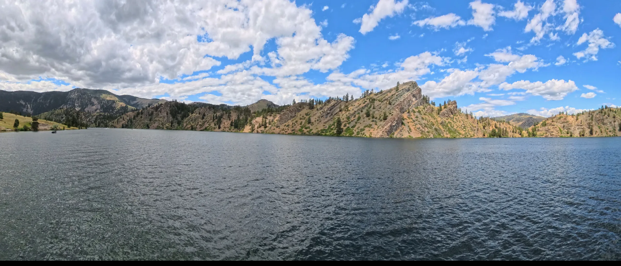
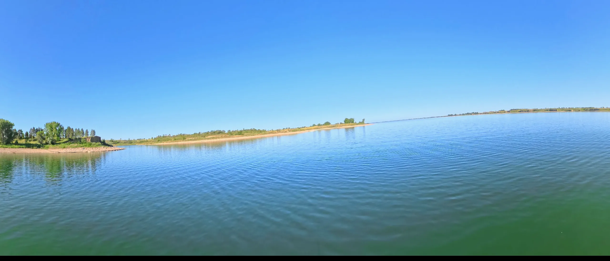
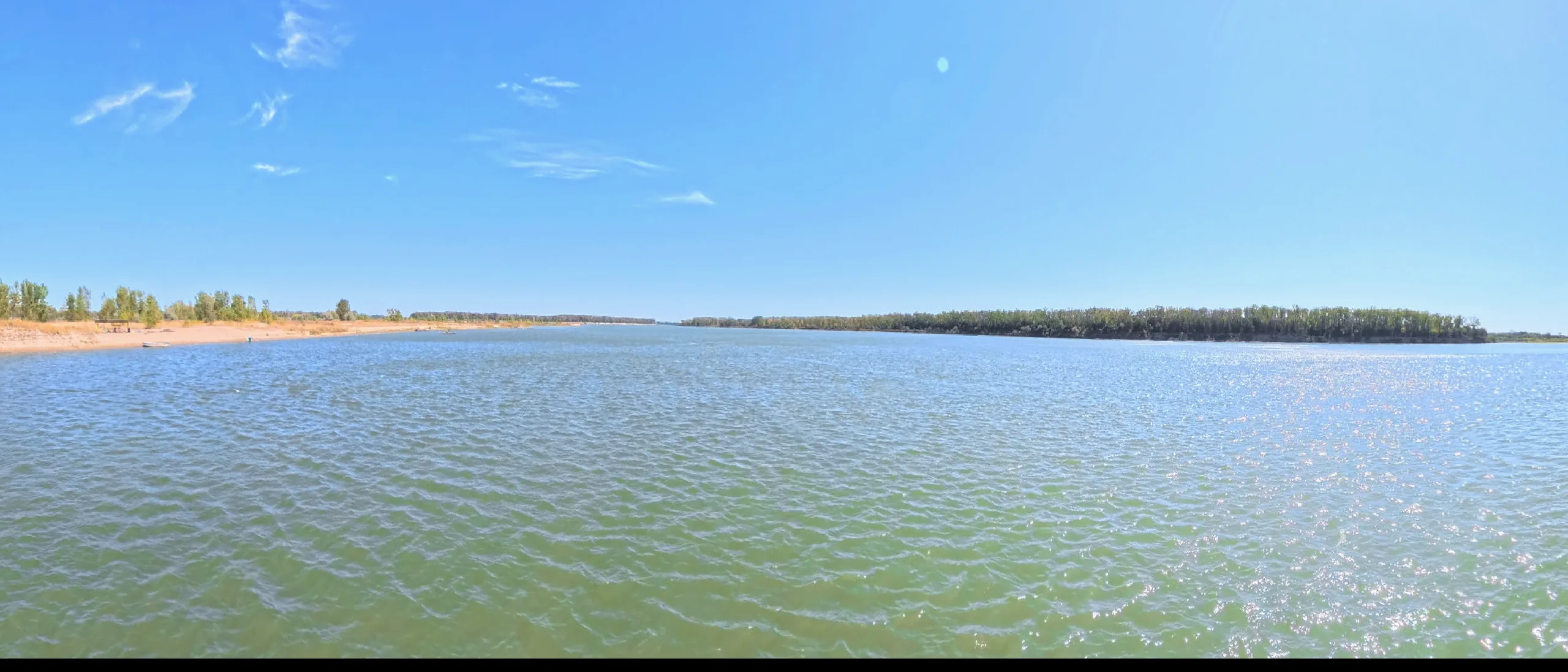
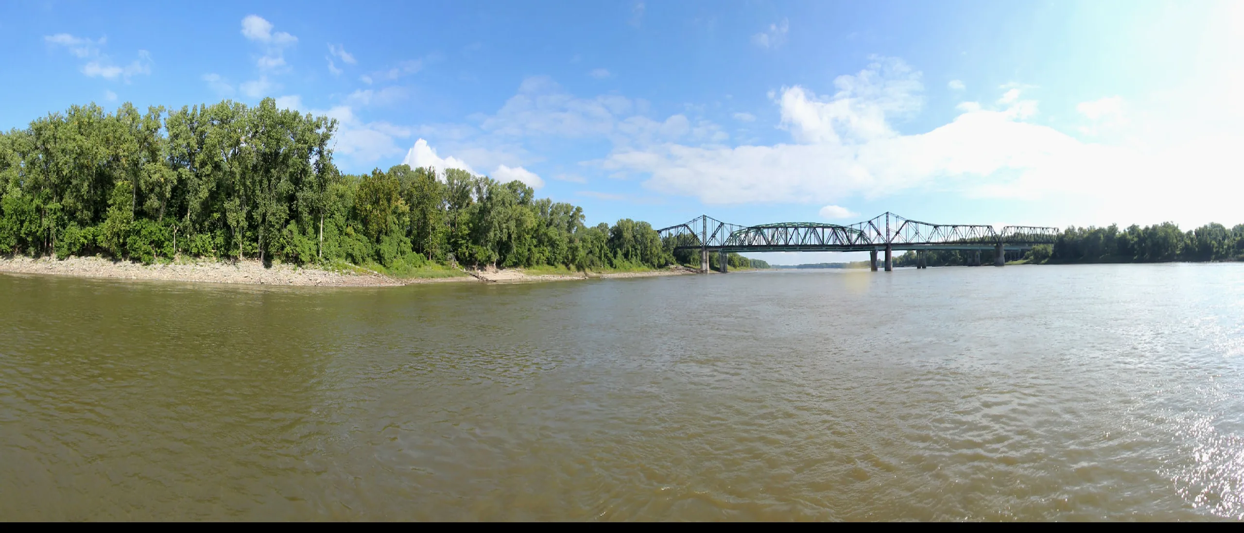
Badlands water — 200 ND miles, Medora to Little Missouri Bay. Nine landmark sites, dual-story profiles, its own map.
692 miles — the longest undammed river in the lower 48, from Yellowstone country to the confluence at Fort Buford.
Central Montana prairie water, north through the Breaks country into Fort Peck Lake at UL Bend.
Prairie-coteau river of the SD/IA border, falling to the mainstem right where the channelized Missouri begins.
Loess Hills water winding out of northwest Iowa — quiet paddling through the steepest prairie country east of the river.
Ozark water below Bagnell Dam — bluff-lined bends joining the Missouri in Katy Trail country below Jefferson City.
The Missouri is not one river. It is four rivers in sequence — a wild headwaters corridor, a drowned plains reservoir chain, a braided sandspit reach managed by the Park Service, and a fast channelized working river that runs through the wine country and barge towns of the lower Midwest. Each chapter has its own character, its own difficulty, its own reason to be on the water. What holds them together is the current. Paddle long enough on any reach and you feel the pull of the same river that Lewis and Clark followed upstream in 1804, that the Army Corps of Engineers remade across the twentieth century, and that conservation managers and tribal nations are still fighting to restore.
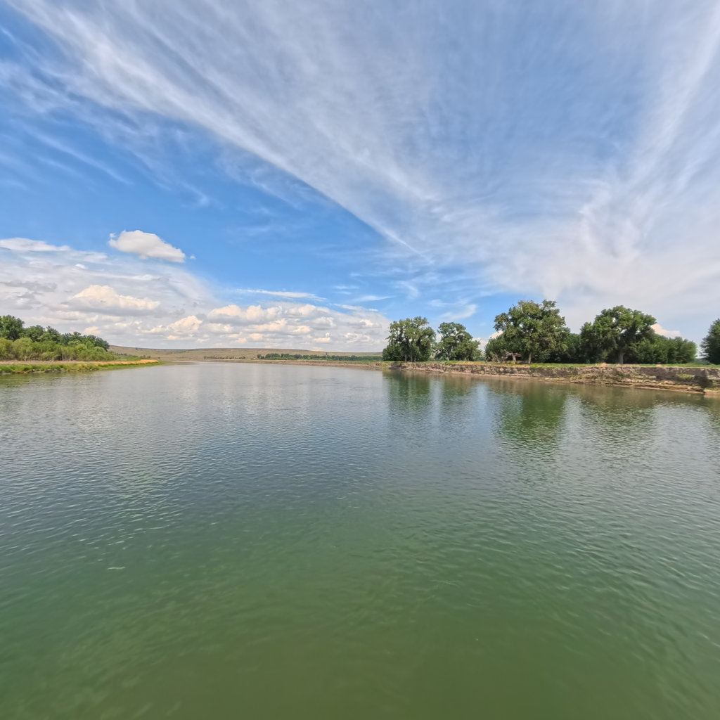
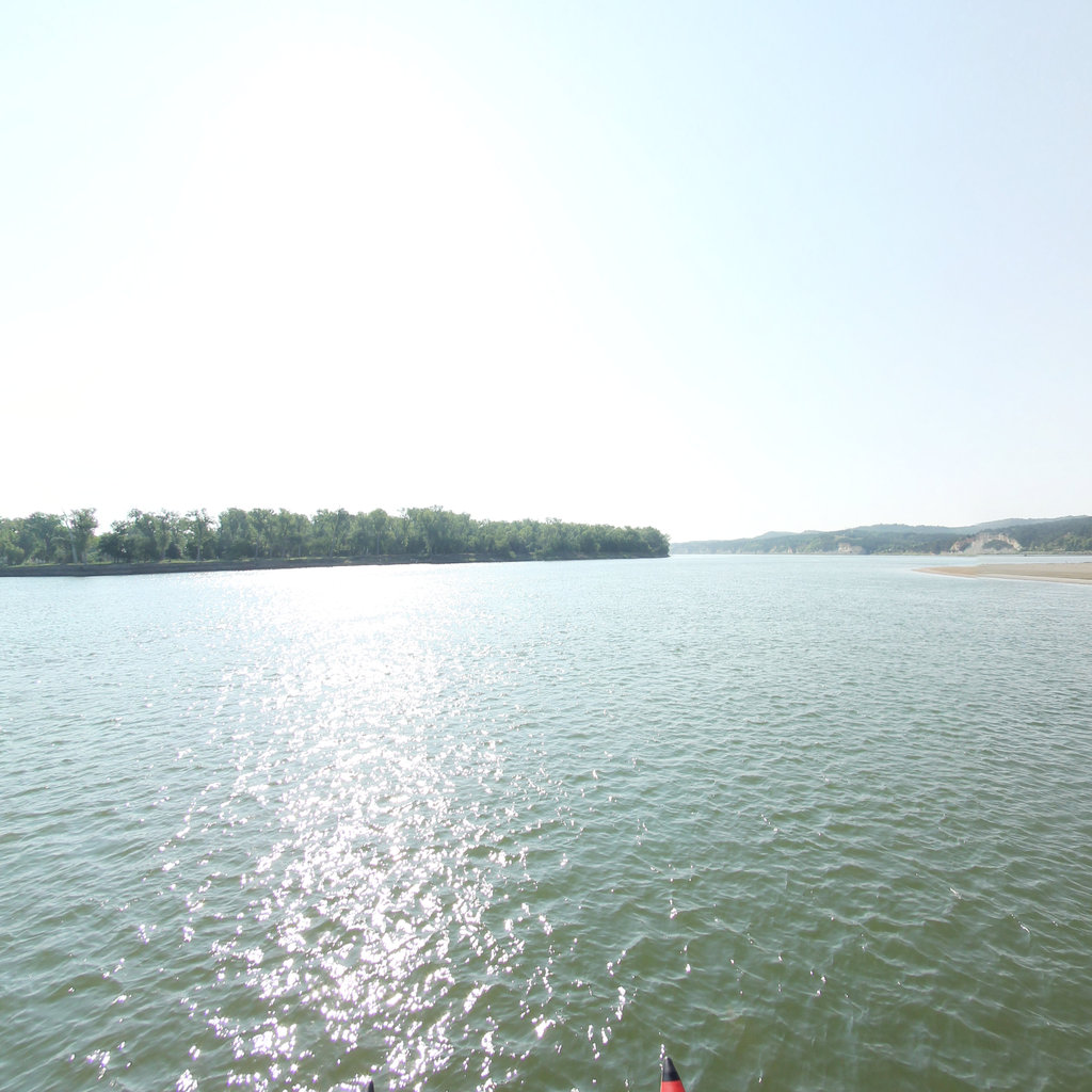
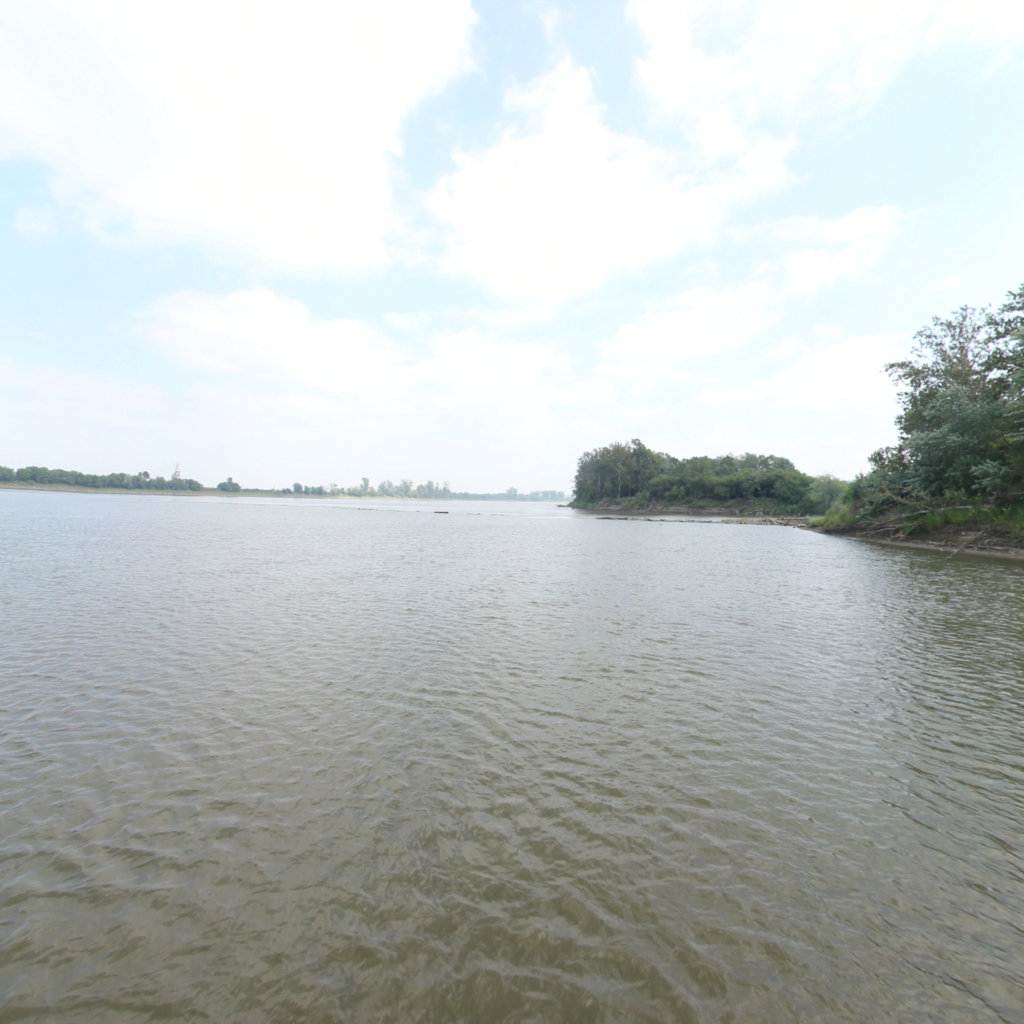
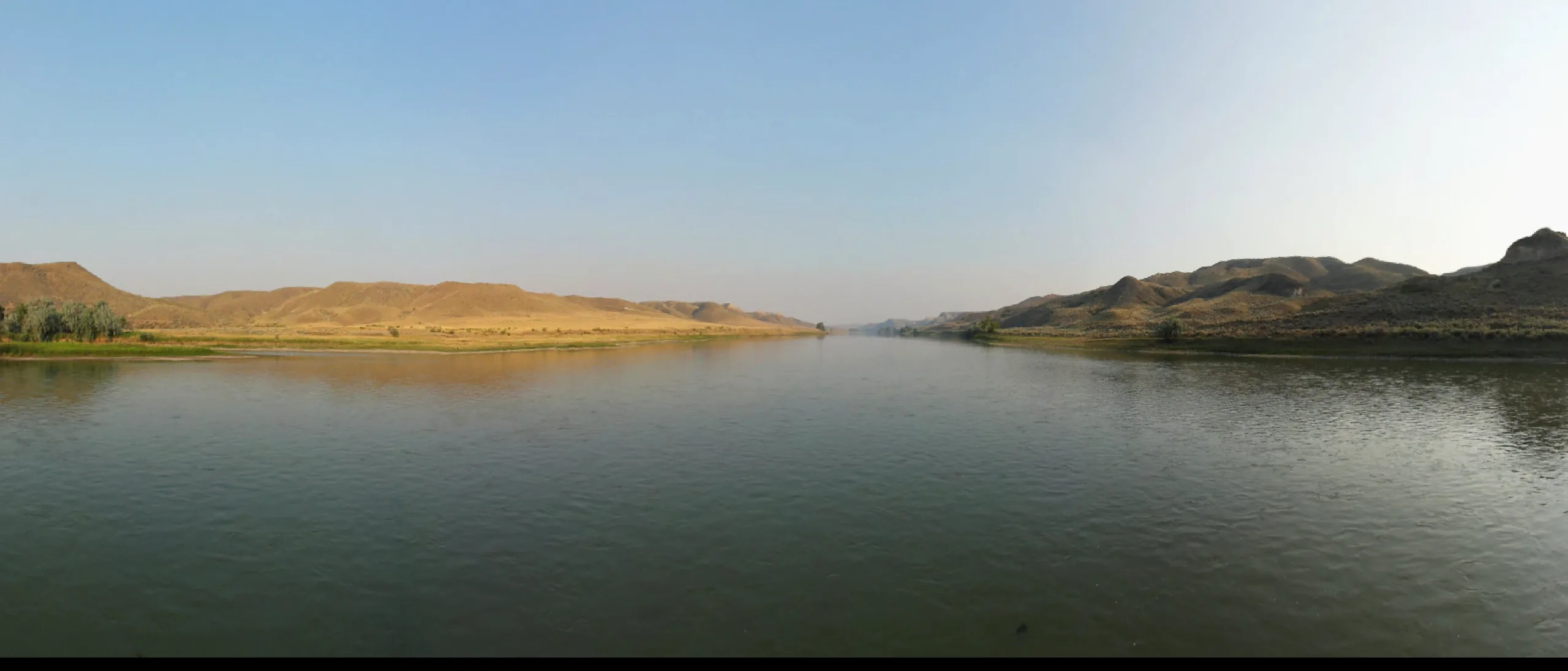
This guide was built from on-the-water 360° capture — not from a desk. Every reach described here has been seen at river level, in real current conditions. That ground-truth matters because the Missouri rewards preparation and punishes assumptions. The reservoir crossings on the plains are open-water lake paddles, nothing like the free-flowing reaches above them. The NRR's braided channels reroute between seasons. The lower river's wing dikes and barge traffic require a specific set of skills and river-reading habits you won't find in any brochure. This guide tells you what it actually looks like out there.
No public reports yet — the reporting system ships later this year. Spotted something paddlers should know about — a low ferry cable, a closed ramp, a plover closure? Email it in and we'll post it here with credit.
File a report