Fort Peck Tailwater
Upper Missouri · Reach 2 of 2 · RM 1,771–1,588

Fort Peck Tailwater

Remote and wild 180-mile stretch below Fort Peck Dam to the confluence with the Yellowstone River near the North Dakota border. 1.5–3.5 mph typical current.

The river today
 
7-day trend · prime window runs 6,000–12,000 CFS
Quick float Estimate Full planner with wind, camps & day-by-day →
Mile by mile

Fort Peck Dam Tailwater → Yellowstone River Confluence.

Open this reach on the map →
MileUSACE RMSiteTypeNotes
0.01,771Fort Peck DamDAM
183.01,588Fort Union Trading Post NHSHISTORY
183.11,588Confluence of Missouri & YellowstonePOI
1,590.0181Yellowstone ConfluenceRAMP
1,620.0151CulbertsonRAMP
1,700.071Wolf PointRAMP
1,770.01Fort Peck Dam TailwaterRAMP
Know before you go

Permits & the float window.

Best season is June - September, peaking July - August. Plan 8-12 days for the full 180 miles at 15-22 miles a day.

  • Extreme remoteness - limited cell service
  • Few access points or bail-out options
  • Wind exposure on wide river
  • Dam release fluctuations can change water levels
  • Submerged trees and debris
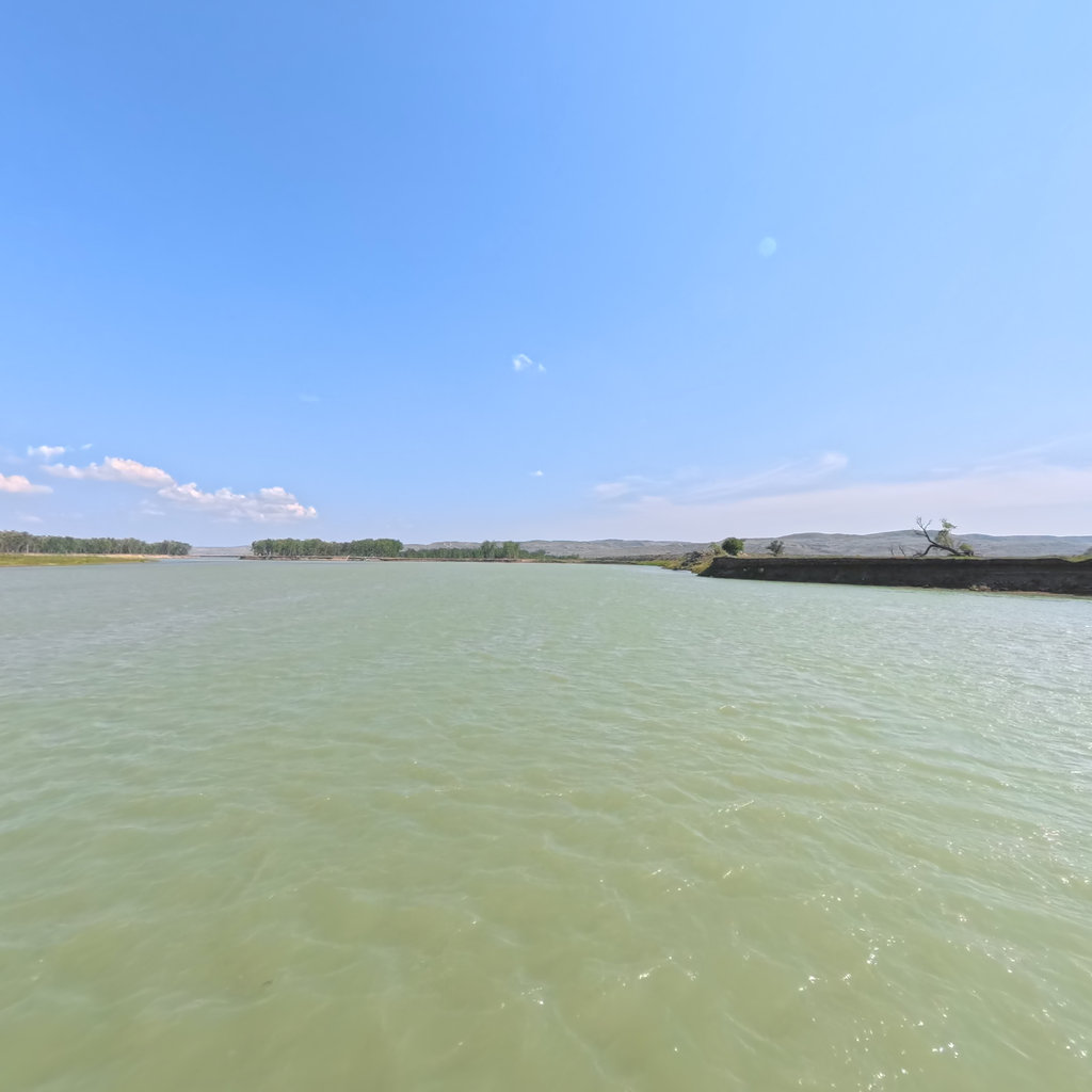
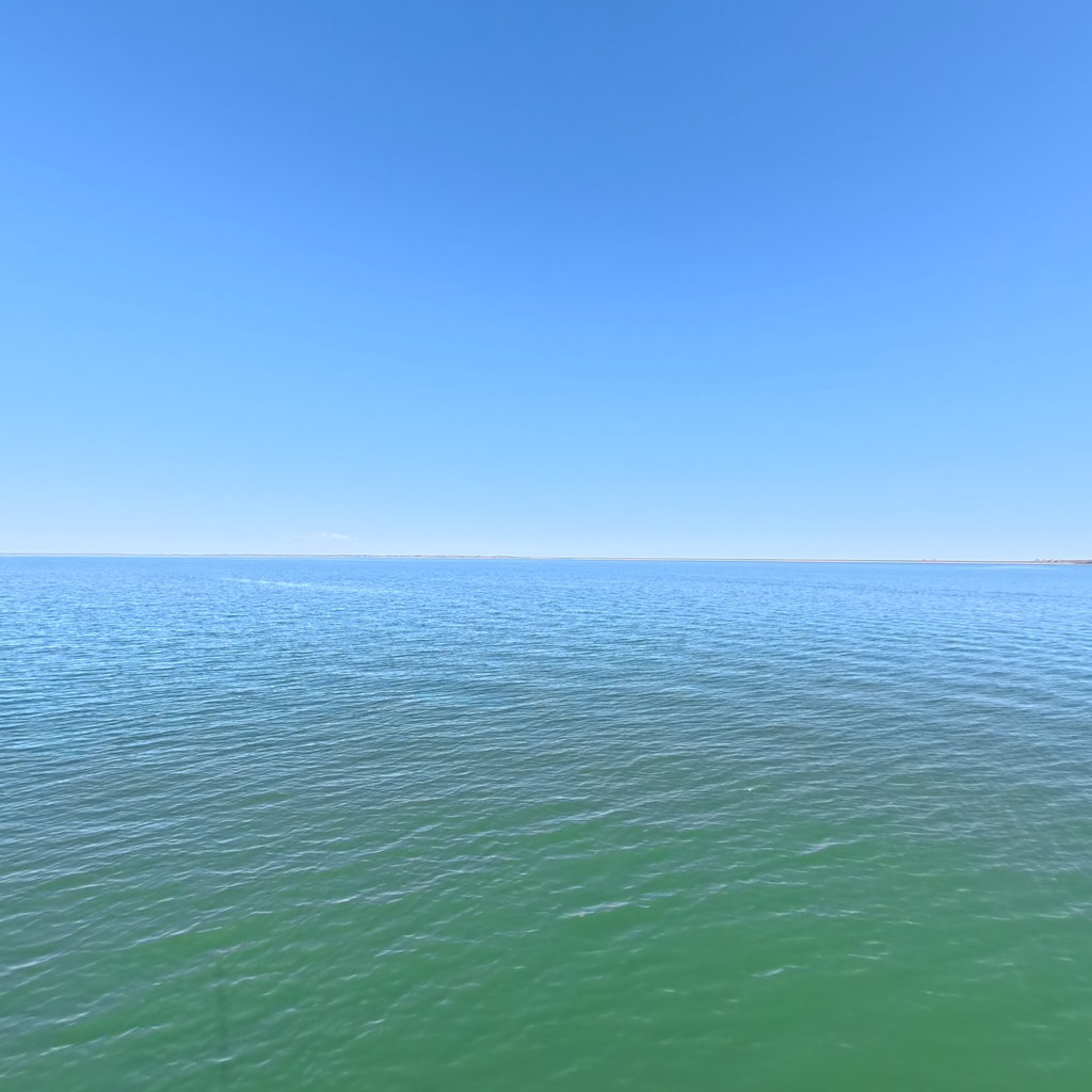
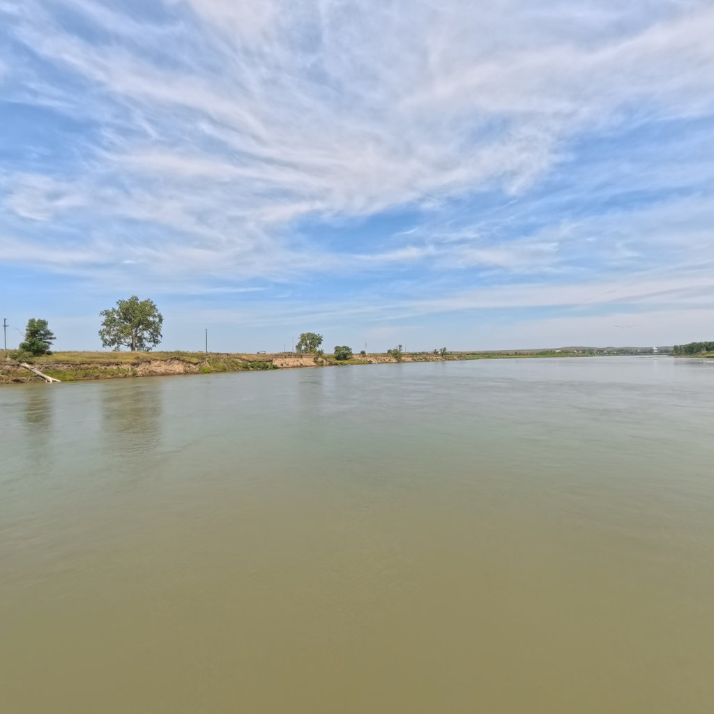
360° scene 360° · RM 1,651 360° scene 360° · RM 1,741
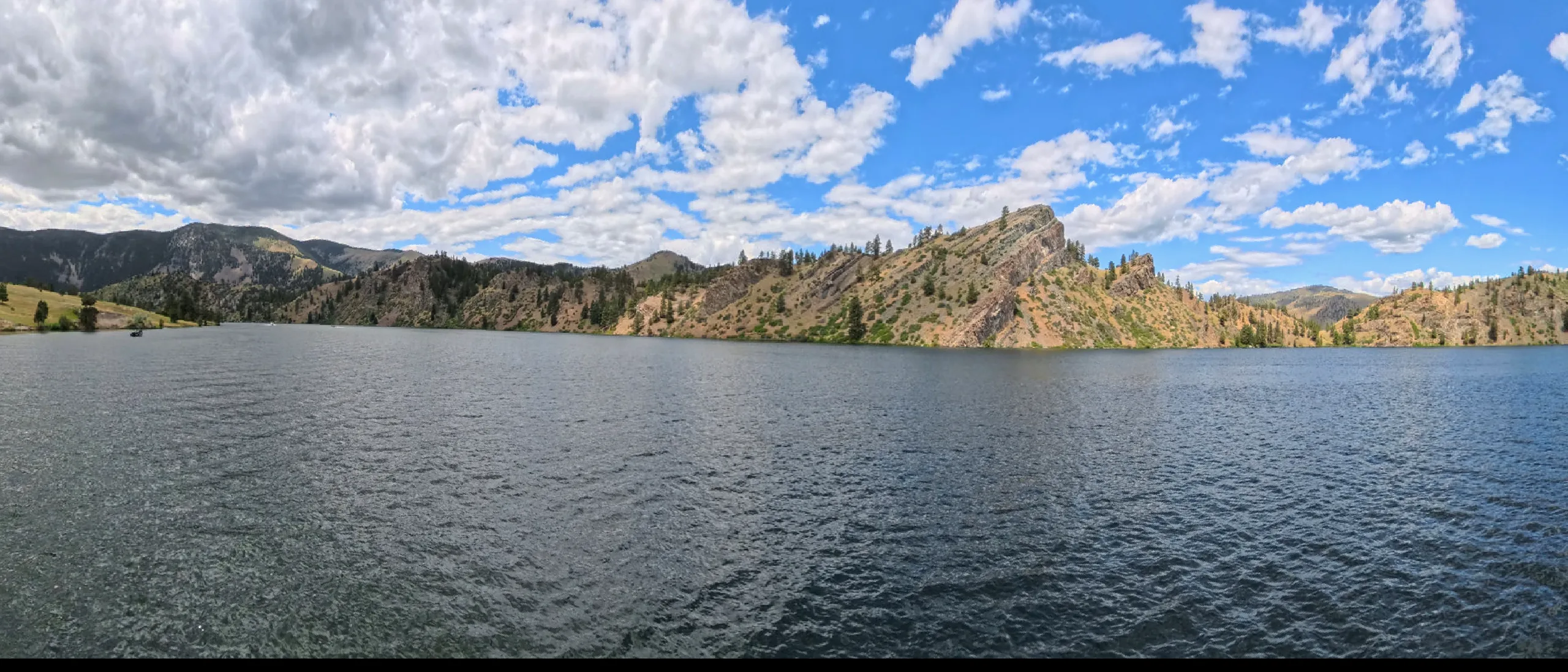
Scenes from this stretch and its neighbors. Coverage map →
In 360°

Float this reach in 360°.

Terrain360 has captured roughly two-thirds of the mainstem in full 360° imagery. Tap any card to float that stretch in the viewer.