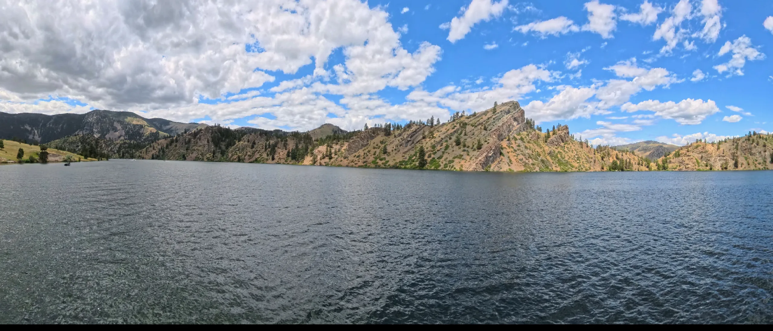
Upper Missouri Wild & Scenic River
Upper Missouri · Reach 1 of 2 · RM 2,090–1,929

Upper Missouri Wild & Scenic River

The crown jewel of Missouri River paddling. 2–4.5 mph typical current.

The river today
 
7-day trend · prime window runs 4,000–10,000 CFS
Quick float Estimate Full planner with wind, camps & day-by-day →
Mile by mile

Fort Benton Canoe Launch → James Kipp Recreation Area.

Open this reach on the map →
MileUSACE RMSiteTypeNotes
0.02,090Fort Benton Canoe LaunchRAMP
1.42,088Fort Benton Boat LaunchRAMP
5.12,085Fort BentonTOWN
17.62,072Decision PointHISTORY
20.22,070Loma / Wood BottomRAMP
39.12,051Virgelle ferry cableHAZARDLow cable across the channel — duck early
41.52,048Coal Banks LandingRAMP
76.62,013Upper Missouri River Breaks NMPOI
88.52,001Judith LandingRAMP
94.01,996White CliffsPOI
101.81,988McClelland–Stafford ferry cableHAZARDSecond cable crossing — stay center-channel, duck
102.71,987Canoe Camp (Montana)CAMP
149.01,941James Kipp Recreation AreaRAMP
Know before you go

Permits & the float window.

Free float permits required for overnight trips. Register at BLM office in Fort Benton or online. Group size limited to 16 people. Best season is June - September, peaking July - August. Plan 7-10 days for the full 149 miles at 15-21 miles a day.

  • Strong upriver winds (common afternoons, can halt progress entirely)
  • Two ferry crossings with low-hanging cables (RM 39.1 and RM 101.8)
  • Submerged rocks and tree snags
  • Rattlesnakes on shore
  • Ice-cold water even in summer
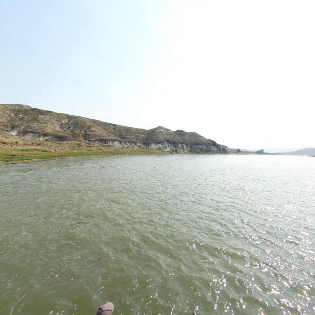
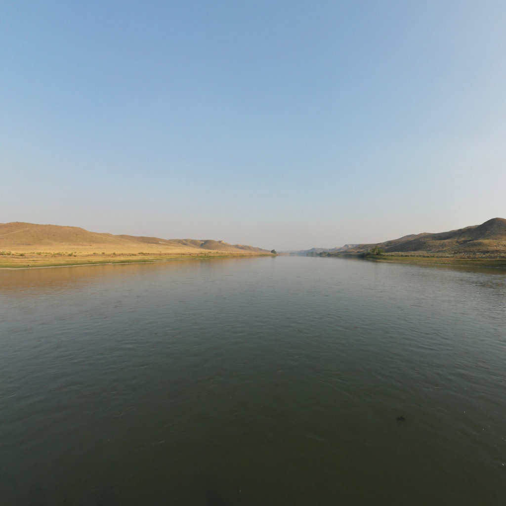
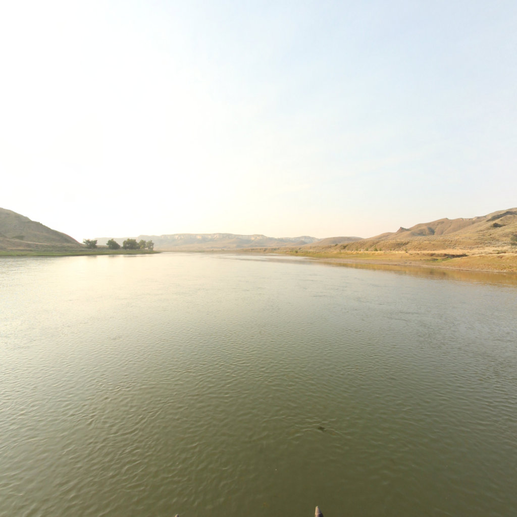
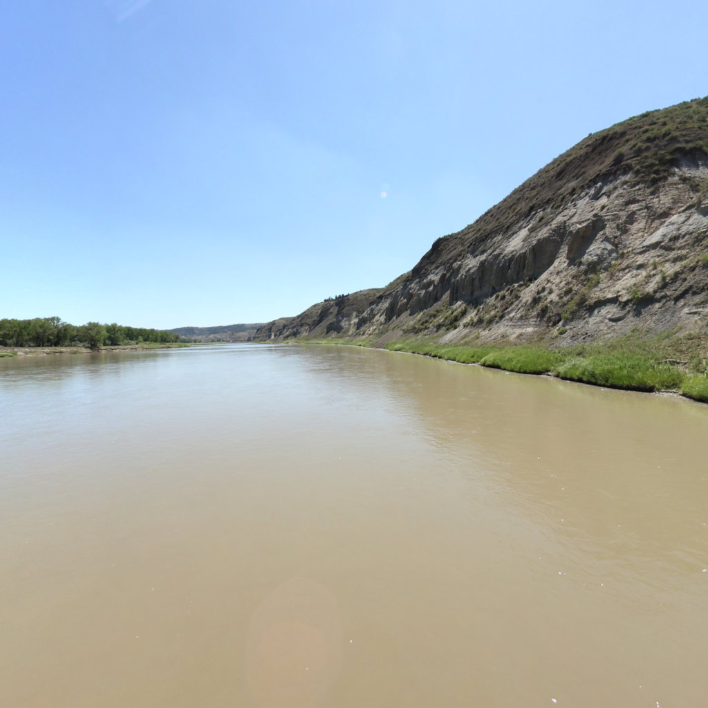
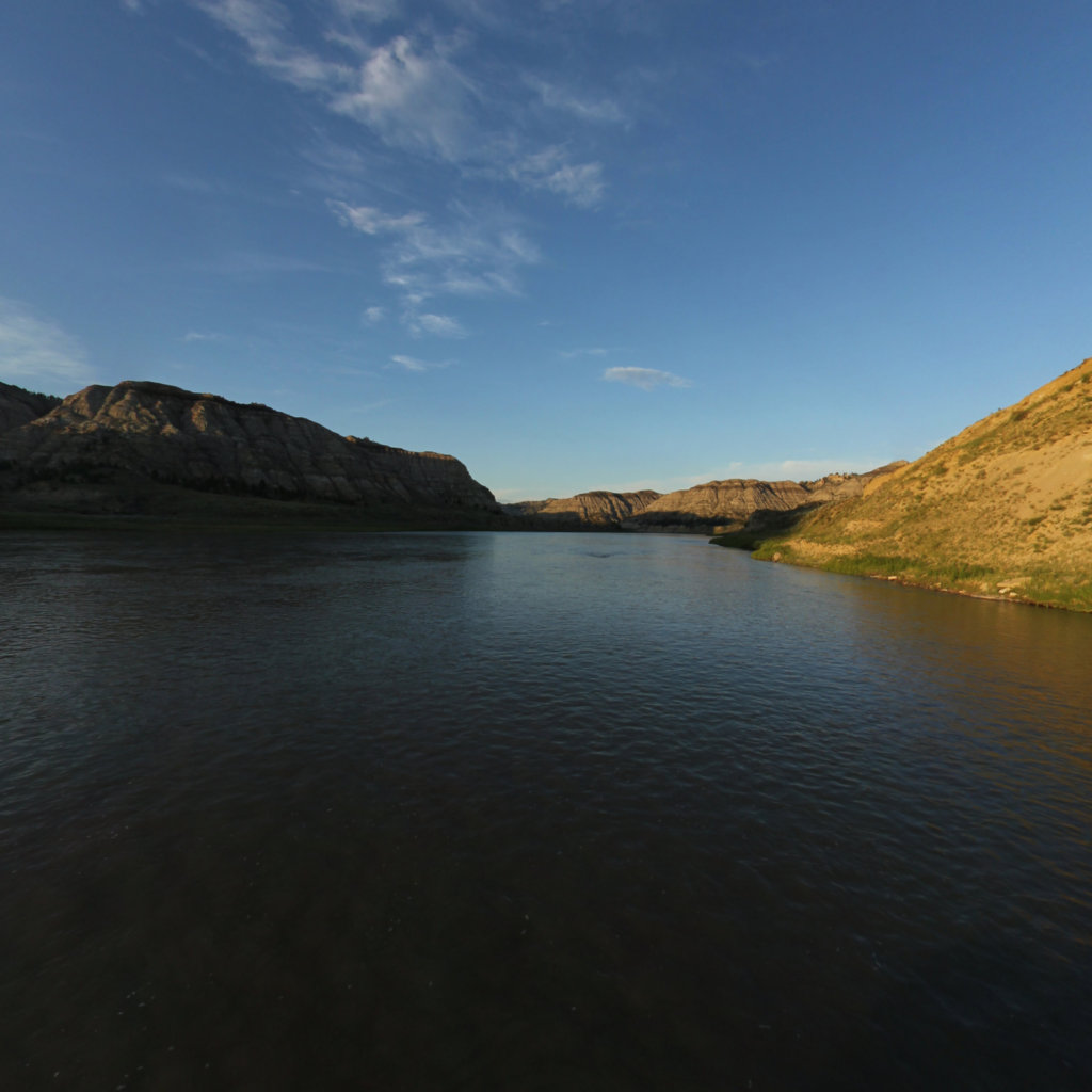
360° scene 360° · RM 1,976 360° scene 360° · RM 2,003
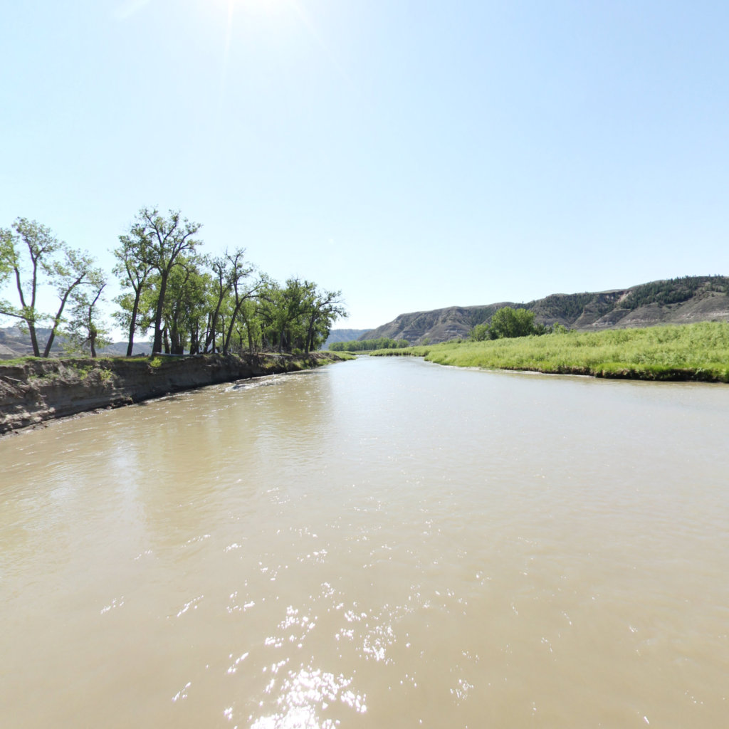
Scenes from this stretch and its neighbors. Coverage map →
In 360°

Float this reach in 360°.

Terrain360 has captured roughly two-thirds of the mainstem in full 360° imagery. Tap any card to float that stretch in the viewer.